UN/LOCODE hub · United Kingdom
GBFBH
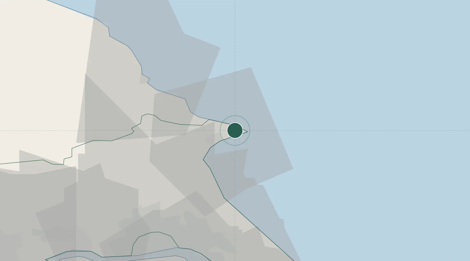
Flamborough
54.1167°, -0.1167°
1,914
Population
2
Transport functions
Transport Functions
Port
Road
Hub Profile
Place type
District seat
Region
England
Population
1,914
Time zone
Europe/London
Elevation
47 m
Location
Nearby Logistics Neighbours
Cities
- 1Bridlington7 km
- 2Crawley Down9 km
- 3Dunnington21 km
- 4Goxhill27 km
- 5Sherburn27 km
Ports
- 1Bridlington6 km
- 2Scarborough26 km
- 3Kingston Upon Hull42 km
- 4New Holland49 km
- 5Whitby52 km
Airports
- 1Humberside Airport62 km
- 2Leeds East Airport77 km
- 3RAF Topcliffe83 km
- 4RAF Leeming95 km
- 5Teesside International Airport96 km
Trade Zones
DatabookThe Record of Consolidated Knowledge
United Kingdom beyond logistics?