UN/LOCODE hub · United Kingdom
GBBRT
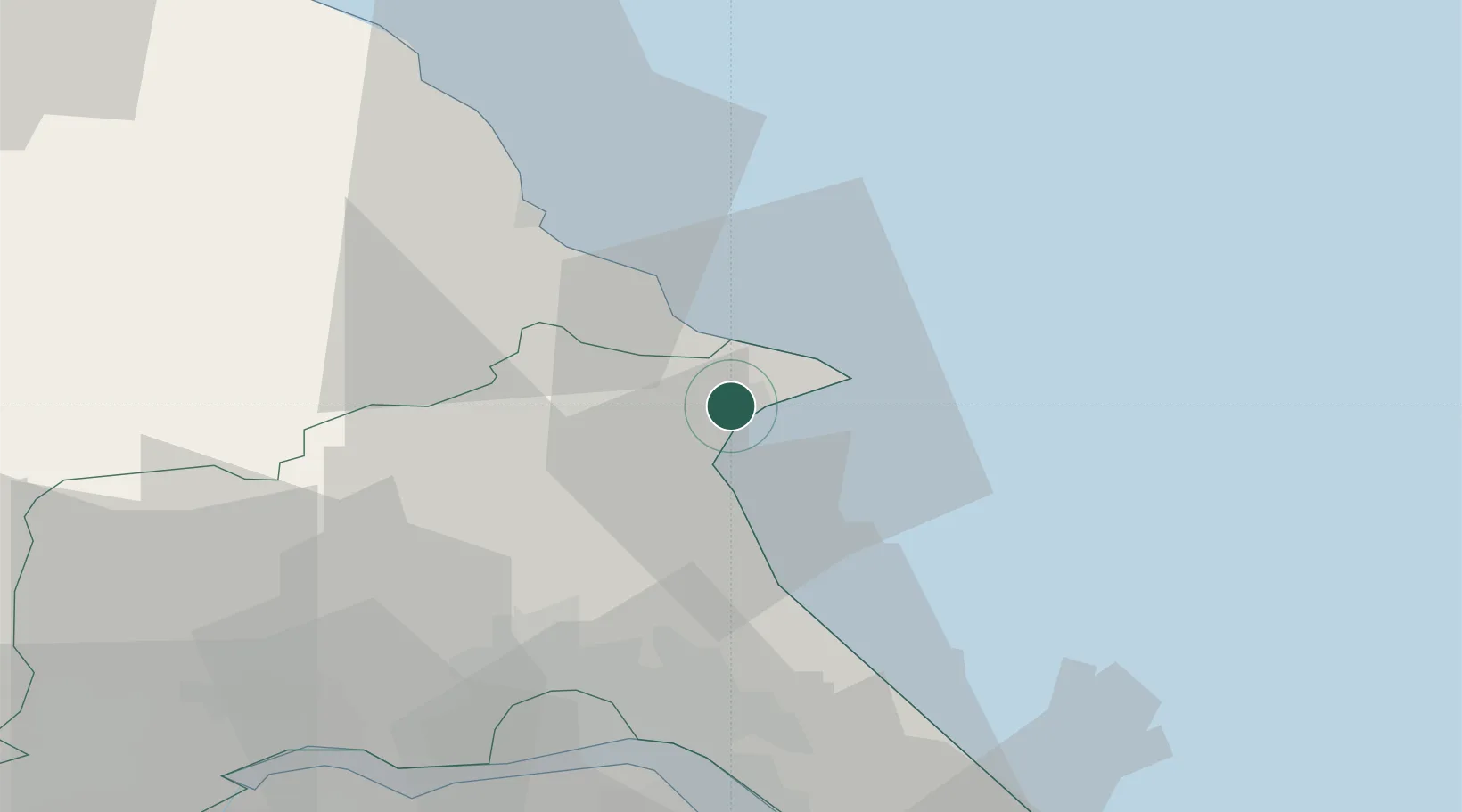
Bridlington
54.0833°, -0.2000°
35,154
Population
1
Transport functions
Transport Functions
Port
Hub Profile
Place type
District seat
Region
England
Population
35,154
Time zone
Europe/London
Elevation
14 m
Location
Nearby Logistics Neighbours
Cities
- 1Flamborough7 km
- 2Crawley Down14 km
- 3Dunnington15 km
- 4Goxhill22 km
- 5Sherburn23 km
Ports
- 1Scarborough26 km
- 2Kingston Upon Hull38 km
- 3New Holland44 km
- 4Immingham50 km
- 5Whitby52 km
Airports
- 1Humberside Airport57 km
- 2Leeds East Airport71 km
- 3RAF Topcliffe78 km
- 4RAF Leeming90 km
- 5Teesside International Airport93 km
Trade Zones
DatabookThe Record of Consolidated Knowledge
United Kingdom beyond logistics?