UN/LOCODE hub · United Kingdom
GBNCL
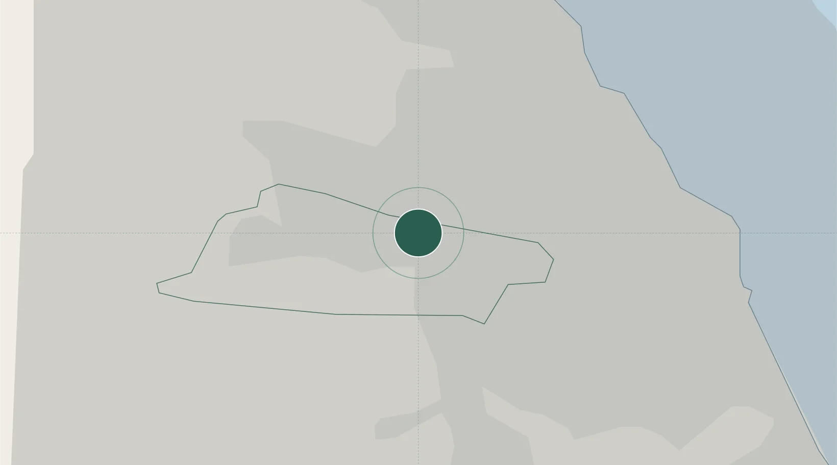
Newcastle upon Tyne
54.9621°, -1.6321°
300,125
Population
3
Transport functions
Transport Functions
Port
Road
Airport
Hub Profile
Place type
Provincial seat
Region
England
Population
300,125
Time zone
Europe/London
Elevation
54 m
Logistics facilities
1
Location
Nearby Logistics Neighbours
Cities
- 1Dunston2 km
- 2Team Valley/Gateshead3 km
- 3Gateshead3 km
- 4Walker6 km
- 5Hebburn7 km
Ports
- 1Tynemouth15 km
- 2Sunderland18 km
- 3Blyth19 km
- 4Seaham25 km
- 5Hartlepool41 km
Airports
- 1Newcastle International Airport9 km
- 2Teesside International Airport52 km
- 3RAF Spadeadam59 km
- 4RAF Leeming74 km
- 5Carlisle Lake District Airport75 km
Trade Zones
DatabookThe Record of Consolidated Knowledge
United Kingdom beyond logistics?