UN/LOCODE hub · United Kingdom
GBHEB
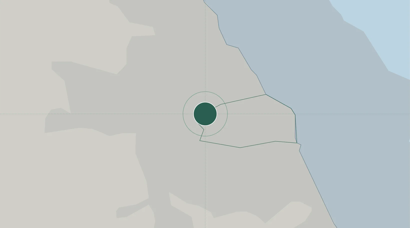
Hebburn
54.9667°, -1.5167°
18,808
Population
1
Transport functions
Transport Functions
Port
Hub Profile
Place type
Populated place
Region
England
Population
18,808
Time zone
Europe/London
Elevation
38 m
Location
Nearby Logistics Neighbours
Cities
- 1Monkton1 km
- 2Wallsend3 km
- 3Walker3 km
- 4Howdon4 km
- 5South Shields5 km
Ports
- 1Tynemouth8 km
- 2Sunderland11 km
- 3Blyth17 km
- 4Seaham20 km
- 5Hartlepool37 km
Airports
- 1Newcastle International Airport14 km
- 2Teesside International Airport51 km
- 3RAF Spadeadam67 km
- 4RAF Leeming75 km
- 5Carlisle Lake District Airport83 km
Trade Zones
DatabookThe Record of Consolidated Knowledge
United Kingdom beyond logistics?