UN/LOCODE hub · United Kingdom
GBLCD

Loch Torridon

57.9667°, -6.2667°
1
Transport functions

Transport Functions

Port
UN/LOCODE

Hub Profile

Region
HLD
GeoNames

Location

Location of GBLCD
Natural Earth 10m (public domain) · HLD · GBLCD · 57.97, -6.27GoogleOSMYandex

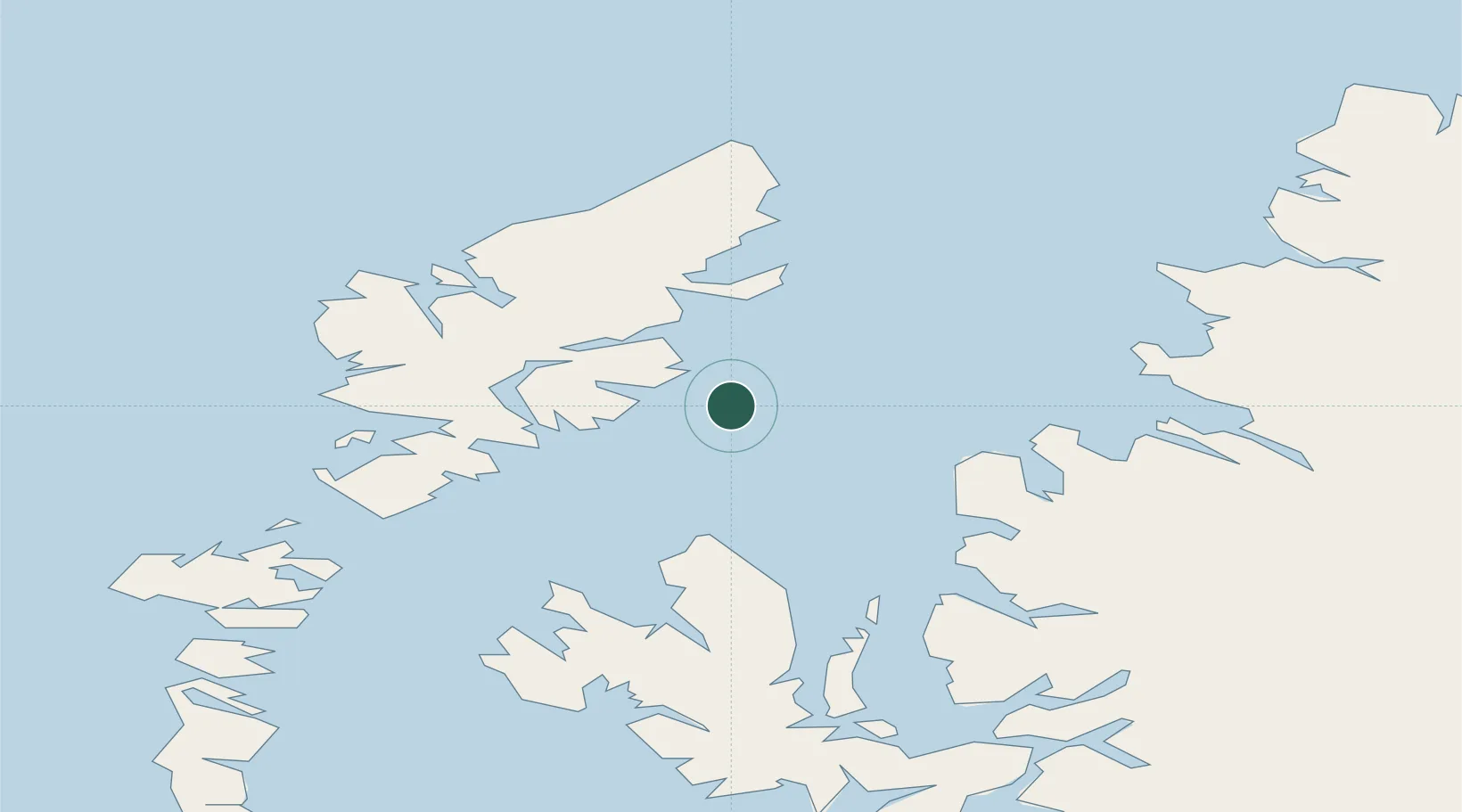
Nearby Logistics Neighbours

Cities
  1. 1South Harris7 km
  2. 2Eishken14 km
  3. 3Stockinish20 km
  4. 4North Lochs20 km
  5. 5Lochs20 km
Nearest neighbours — logibook spatial index (haversine) over the source coordinates
Ports
  1. 1Stornoway Harbor25 km
  2. 2Tarbert33 km
  3. 3Uig43 km
  4. 4Aultbea43 km
  5. 5Gairloch44 km
Nearest neighbours — logibook spatial index (haversine) over the source coordinates
Airports
  1. 1Stornoway Airport28 km
  2. 2Benbecula Airport85 km
  3. 3Barra Airport126 km
  4. 4Inverness Airport140 km
  5. 5Coll Airport153 km
Nearest neighbours — logibook spatial index (haversine) over the source coordinates
Trade Zones
  1. 1Prestwick Airport Free Zone291 km
  2. 2Carlisle Kingmoor Park Enterprise Zone393 km
  3. 3Isle of Man Free Zone and Business Park443 km
  4. 4Blackpool Enterprise Zone508 km
  5. 5Hillhouse Enterprise Zone509 km
Nearest neighbours — logibook spatial index (haversine) over the source coordinates
DatabookThe Record of Consolidated Knowledge
United Kingdom beyond logistics?
Browse databook

All Sources

LocationsUN/LOCODE
UN/LOCODE — free
Portsthe NGA World Port Index
Public domain (US gov)
AirportsOurAirports
Public domain
Trade Zonesthe World Bank SEZ database
CC BY 4.0
Trade ZonesOpen Zone Map
CC BY
← United Kingdom locations