UN/LOCODE hub · United Kingdom
GBTNG

Tingwall Orkney

59.0833°, -3.0500°
2
Transport functions

Transport Functions

Port
Road
UN/LOCODE

Hub Profile

Region
ORK
GeoNames

Location

Location of GBTNG
Natural Earth 10m (public domain) · ORK · GBTNG · 59.08, -3.05GoogleOSMYandex

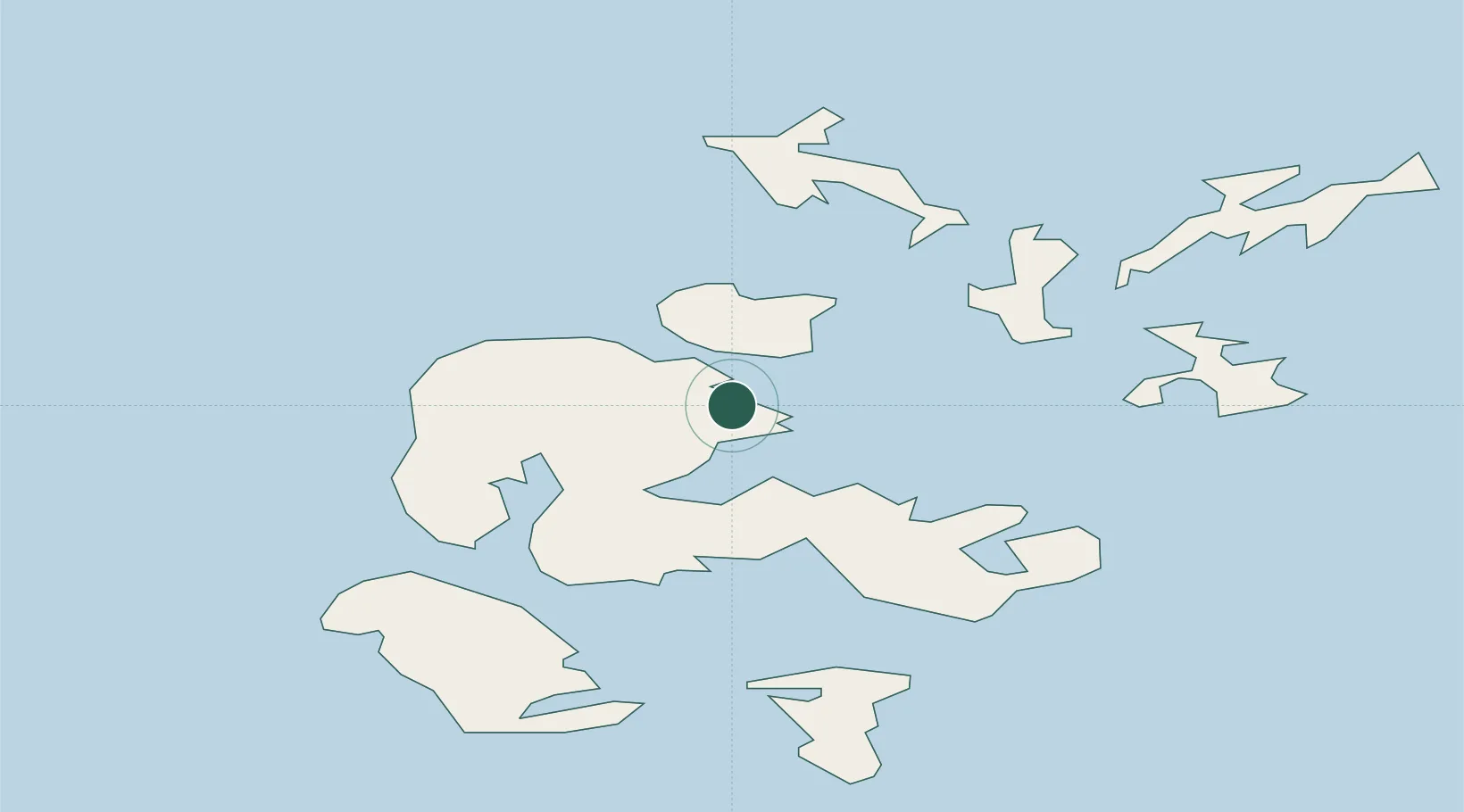
Nearby Logistics Neighbours

Cities
  1. 1Rousay7 km
  2. 2Wyre7 km
  3. 3Orkney10 km
  4. 4Egilsay10 km
  5. 5Hatston10 km
Nearest neighbours — logibook spatial index (haversine) over the source coordinates
Ports
  1. 1Kirkwall12 km
  2. 2Scapa Bay15 km
  3. 3Stromness19 km
  4. 4Whitehall26 km
  5. 5Pierowall26 km
Nearest neighbours — logibook spatial index (haversine) over the source coordinates
Airports
  1. 1Kirkwall Airport16 km
  2. 2Eday Airport20 km
  3. 3Stronsay Airport25 km
  4. 4Westray Airport30 km
  5. 5Papa Westray Airport31 km
Nearest neighbours — logibook spatial index (haversine) over the source coordinates
Trade Zones
  1. 1Prestwick Airport Free Zone408 km
  2. 2Carlisle Kingmoor Park Enterprise Zone461 km
  3. 3North Eastern Enterprise Zone466 km
  4. 4Tees Valley Enterprise Zone511 km
  5. 5Isle of Man Free Zone and Business Park563 km
Nearest neighbours — logibook spatial index (haversine) over the source coordinates
DatabookThe Record of Consolidated Knowledge
United Kingdom beyond logistics?
Browse databook

All Sources

LocationsUN/LOCODE
UN/LOCODE — free
Portsthe NGA World Port Index
Public domain (US gov)
AirportsOurAirports
Public domain
Trade Zonesthe World Bank SEZ database
CC BY 4.0
Trade ZonesOpen Zone Map
CC BY
← United Kingdom locations