UN/LOCODE hub · United Kingdom
GBROU

Rousay

59.1333°, -2.9667°
2
Transport functions

Transport Functions

Port
Road
UN/LOCODE

Hub Profile

Region
ORK
GeoNames

Location

Location of GBROU
Natural Earth 10m (public domain) · ORK · GBROU · 59.13, -2.97GoogleOSMYandex

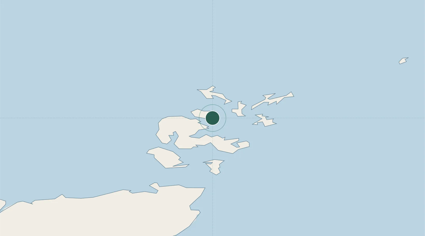
Nearby Logistics Neighbours

Cities
  1. 1Wyre0 km
  2. 2Egilsay3 km
  3. 3Tingwall Orkney7 km
  4. 4Orkney9 km
  5. 5Shapinsay11 km
Nearest neighbours — logibook spatial index (haversine) over the source coordinates
Ports
  1. 1Kirkwall17 km
  2. 2Scapa Bay20 km
  3. 3Pierowall21 km
  4. 4Whitehall21 km
  5. 5Kettletoft24 km
Nearest neighbours — logibook spatial index (haversine) over the source coordinates
Airports
  1. 1Eday Airport13 km
  2. 2Stronsay Airport19 km
  3. 3Kirkwall Airport20 km
  4. 4Westray Airport24 km
  5. 5Papa Westray Airport25 km
Nearest neighbours — logibook spatial index (haversine) over the source coordinates
Trade Zones
  1. 1Prestwick Airport Free Zone415 km
  2. 2Carlisle Kingmoor Park Enterprise Zone467 km
  3. 3North Eastern Enterprise Zone470 km
  4. 4Tees Valley Enterprise Zone515 km
  5. 5Isle of Man Free Zone and Business Park570 km
Nearest neighbours — logibook spatial index (haversine) over the source coordinates
DatabookThe Record of Consolidated Knowledge
United Kingdom beyond logistics?
Browse databook

All Sources

LocationsUN/LOCODE
UN/LOCODE — free
Portsthe NGA World Port Index
Public domain (US gov)
AirportsOurAirports
Public domain
Trade Zonesthe World Bank SEZ database
CC BY 4.0
Trade ZonesOpen Zone Map
CC BY
← United Kingdom locations