UN/LOCODE hub · United Kingdom
GBLRZ

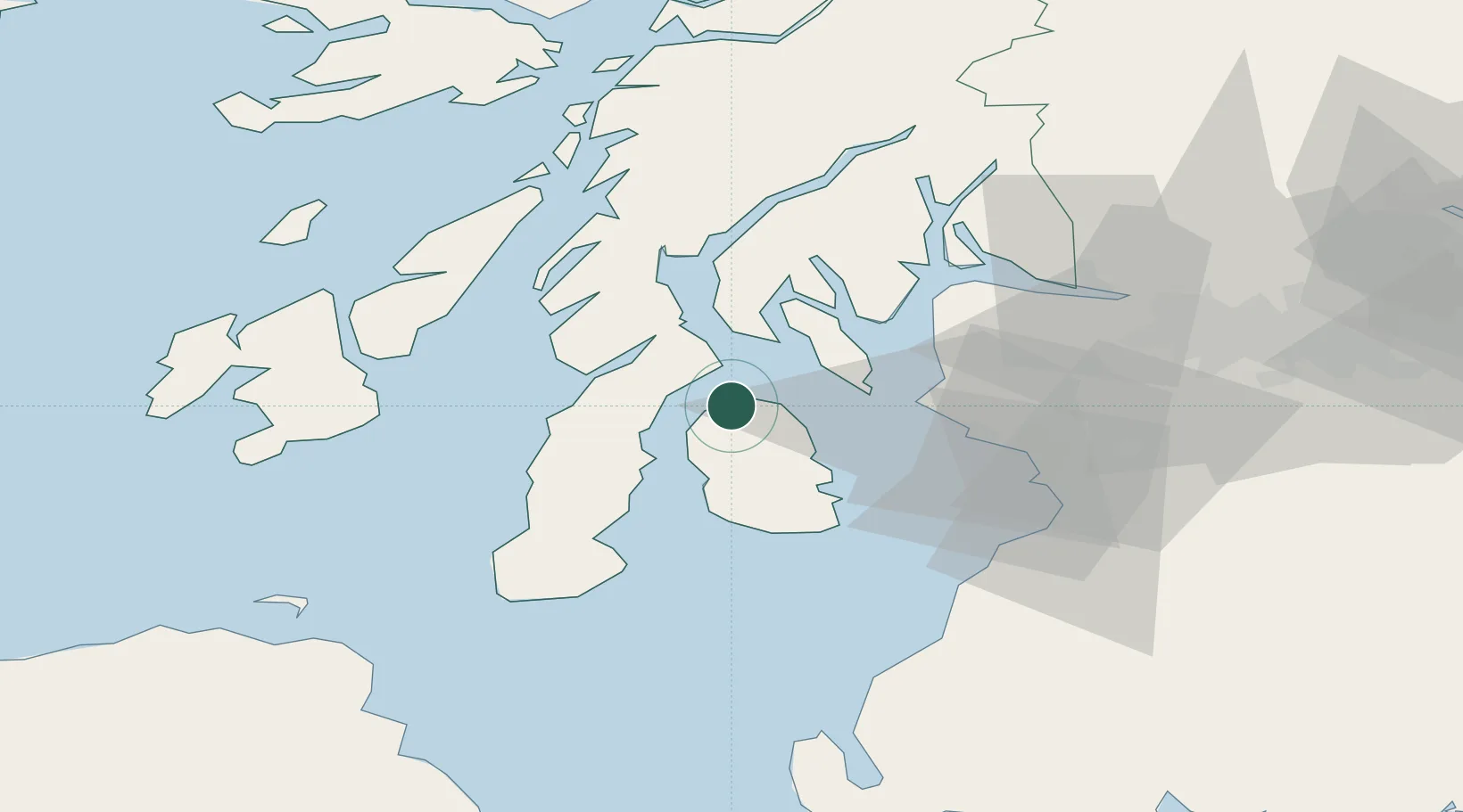
Lochranza, Isle of Arran

55.7000°, -5.3000°
2
Transport functions

Transport Functions

Port
Road
UN/LOCODE

Hub Profile

Region
NAY
GeoNames

Location

Location of GBLRZ
Natural Earth 10m (public domain) · NAY · GBLRZ · 55.70, -5.30GoogleOSMYandex

Nearby Logistics Neighbours

Cities
  1. 1Kennacraig15 km
  2. 2Brodick, Isle of Arran15 km
  3. 3Carradale17 km
  4. 4Portavadie19 km
  5. 5West Loch Tarbert19 km
Nearest neighbours — logibook spatial index (haversine) over the source coordinates
Ports
  1. 1Rothesay Harbor22 km
  2. 2Lamlash Harbor22 km
  3. 3Millport25 km
  4. 4Hunterston27 km
  5. 5Largs29 km
Nearest neighbours — logibook spatial index (haversine) over the source coordinates
Airports
  1. 1Campbeltown Airport38 km
  2. 2Glasgow Prestwick Airport51 km
  3. 3Glasgow Airport58 km
  4. 4Islay Airport60 km
  5. 5Colonsay Airstrip71 km
Nearest neighbours — logibook spatial index (haversine) over the source coordinates
Trade Zones
  1. 1Prestwick Airport Free Zone48 km
  2. 2Carlisle Kingmoor Park Enterprise Zone171 km
  3. 3Isle of Man Free Zone and Business Park184 km
  4. 4Blackpool Enterprise Zone259 km
  5. 5Hillhouse Enterprise Zone261 km
Nearest neighbours — logibook spatial index (haversine) over the source coordinates
DatabookThe Record of Consolidated Knowledge
United Kingdom beyond logistics?
Browse databook

All Sources

LocationsUN/LOCODE
UN/LOCODE — free
Portsthe NGA World Port Index
Public domain (US gov)
AirportsOurAirports
Public domain
Trade Zonesthe World Bank SEZ database
CC BY 4.0
Trade ZonesOpen Zone Map
CC BY
← United Kingdom locations