UN/LOCODE hub · United Kingdom
GBKCG

Kennacraig

55.8000°, -5.4667°
1
Transport functions

Transport Functions

Port
UN/LOCODE

Hub Profile

Place type
Populated place
GeoNames
Region
Scotland
GeoNames
Time zone
Europe/London
GeoNames
Elevation
8 m
GeoNames

Location

Location of GBKCG
Natural Earth 10m (public domain) · Scotland · GBKCG · 55.80, -5.47GoogleOSMYandex

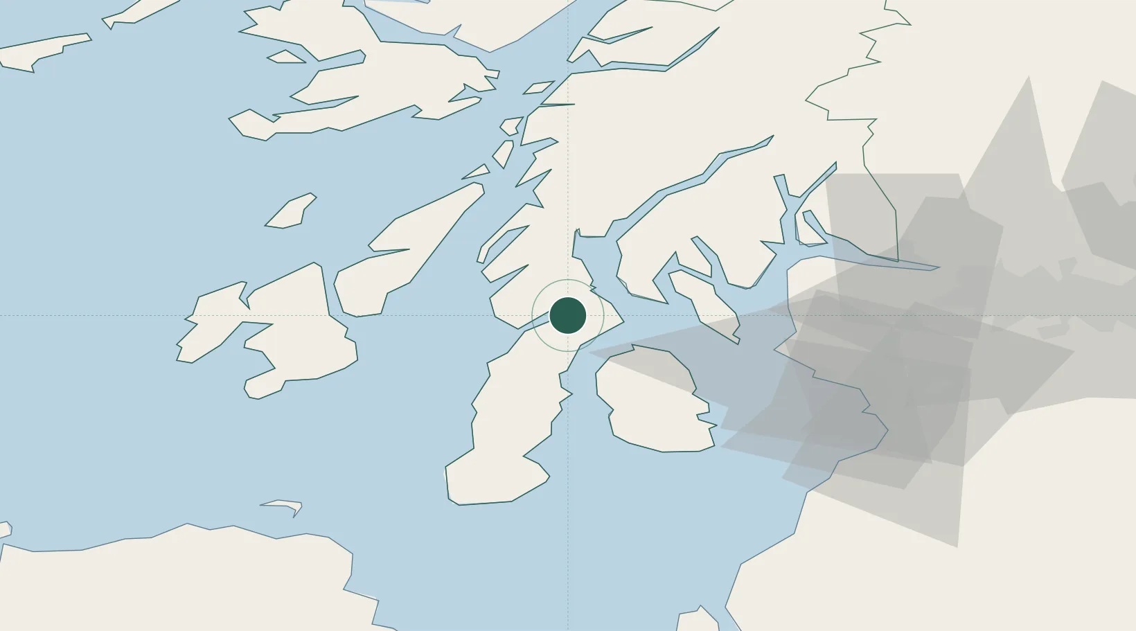
Nearby Logistics Neighbours

Cities
  1. 1West Loch Tarbert6 km
  2. 2Tarbert, Loch Fyne8 km
  3. 3Portavadie13 km
  4. 4Lochranza, Isle of Arran15 km
  5. 5Kyles of Bute17 km
Nearest neighbours — logibook spatial index (haversine) over the source coordinates
Ports
  1. 1Ardrishaig24 km
  2. 2Rothesay Harbor26 km
  3. 3Crinan (Canal)32 km
  4. 4Millport35 km
  5. 5Lamlash Harbor37 km
Nearest neighbours — logibook spatial index (haversine) over the source coordinates
Airports
  1. 1Campbeltown Airport43 km
  2. 2Islay Airport51 km
  3. 3Colonsay Airstrip56 km
  4. 4Glasgow Prestwick Airport65 km
  5. 5Glasgow Airport65 km
Nearest neighbours — logibook spatial index (haversine) over the source coordinates
Trade Zones
  1. 1Prestwick Airport Free Zone63 km
  2. 2Carlisle Kingmoor Park Enterprise Zone185 km
  3. 3Isle of Man Free Zone and Business Park197 km
  4. 4Blackpool Enterprise Zone274 km
  5. 5Hillhouse Enterprise Zone276 km
Nearest neighbours — logibook spatial index (haversine) over the source coordinates
DatabookThe Record of Consolidated Knowledge
United Kingdom beyond logistics?
Browse databook

All Sources

LocationsUN/LOCODE
UN/LOCODE — free
Portsthe NGA World Port Index
Public domain (US gov)
AirportsOurAirports
Public domain
Trade Zonesthe World Bank SEZ database
CC BY 4.0
Trade ZonesOpen Zone Map
CC BY
← United Kingdom locations