Transport Functions
Port
Multimodal
Hub Profile
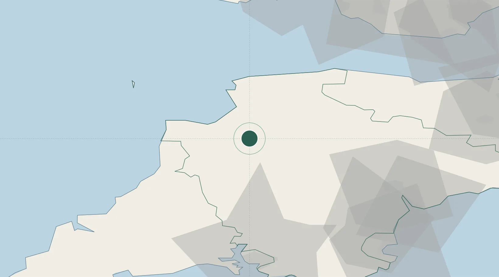
Place type
Populated place
Region
England
Time zone
Europe/London
Elevation
29 m
Location
Nearby Logistics Neighbours
Cities
- 1Bideford10 km
- 2Instow13 km
- 3Appledore13 km
- 4Tawstock15 km
- 5Barnstaple18 km
Ports
- 1Bideford12 km
- 2Teignmouth Harbour63 km
- 3Plymouth63 km
- 4Watchet Harbor64 km
- 5Torquay Harbour68 km
Airports
- 1Royal Marines Base Chivenor17 km
- 2Hartland Point Heliport28 km
- 3Lundy Island Helipad44 km
- 4Exeter International Airport56 km
- 5MOD St Athan73 km
DatabookThe Record of Consolidated Knowledge
United Kingdom beyond logistics?