Transport Functions
Port
Hub Profile
Place type
Populated place
Region
England
Population
706
Time zone
Europe/London
Elevation
19 m
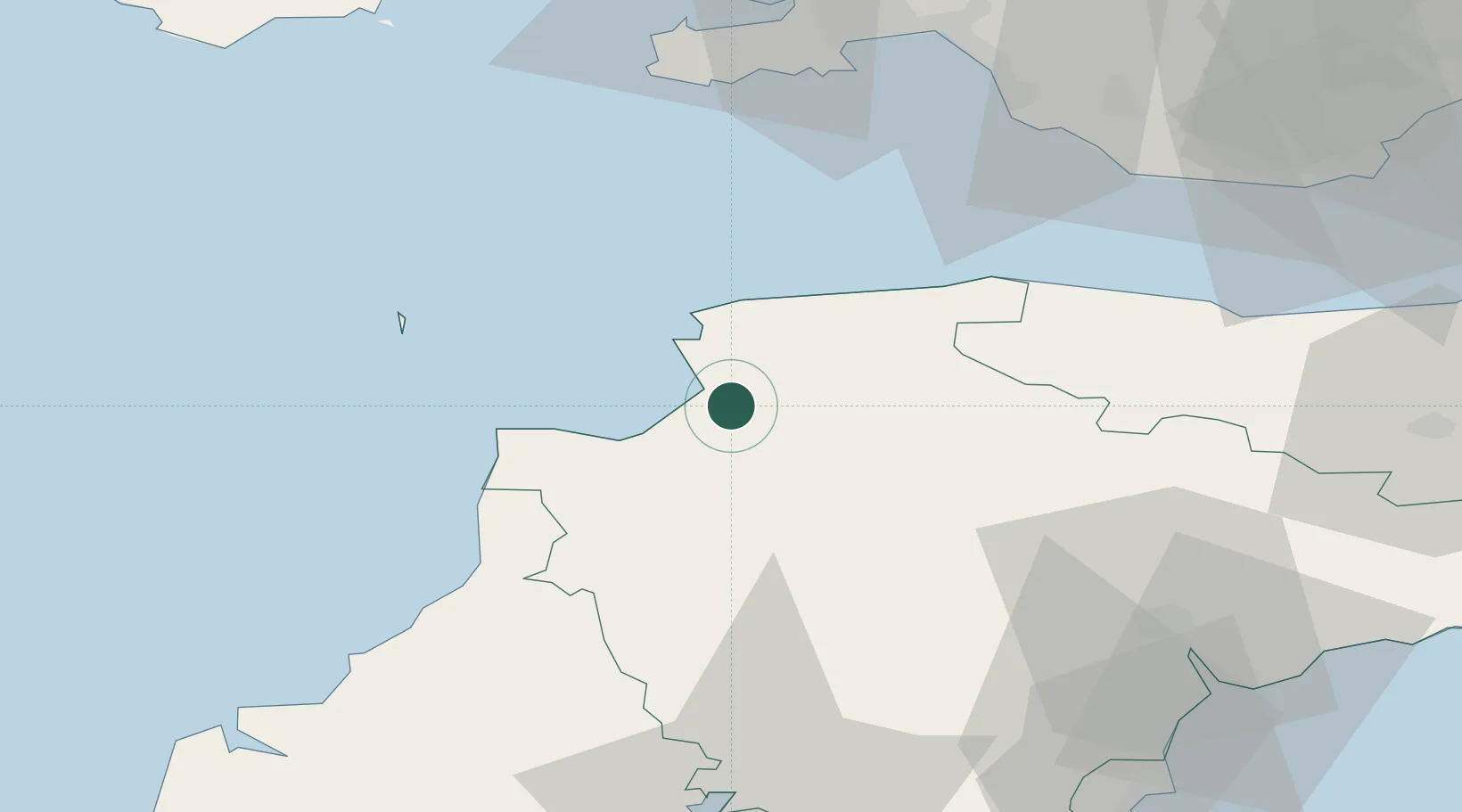
Location
Nearby Logistics Neighbours
Cities
- 1Appledore2 km
- 2Bideford5 km
- 3Wrafton7 km
- 4Moretonhampstead8 km
- 5Barnstaple8 km
Ports
- 1Bideford3 km
- 2Watchet Harbor60 km
- 3Port Talbot64 km
- 4Swansea65 km
- 5Neath69 km
Airports
- 1Royal Marines Base Chivenor4 km
- 2Hartland Point Heliport25 km
- 3Lundy Island Helipad37 km
- 4Swansea Airport62 km
- 5Exeter International Airport63 km
DatabookThe Record of Consolidated Knowledge
United Kingdom beyond logistics?