UN/LOCODE hub · United Kingdom
GBBID
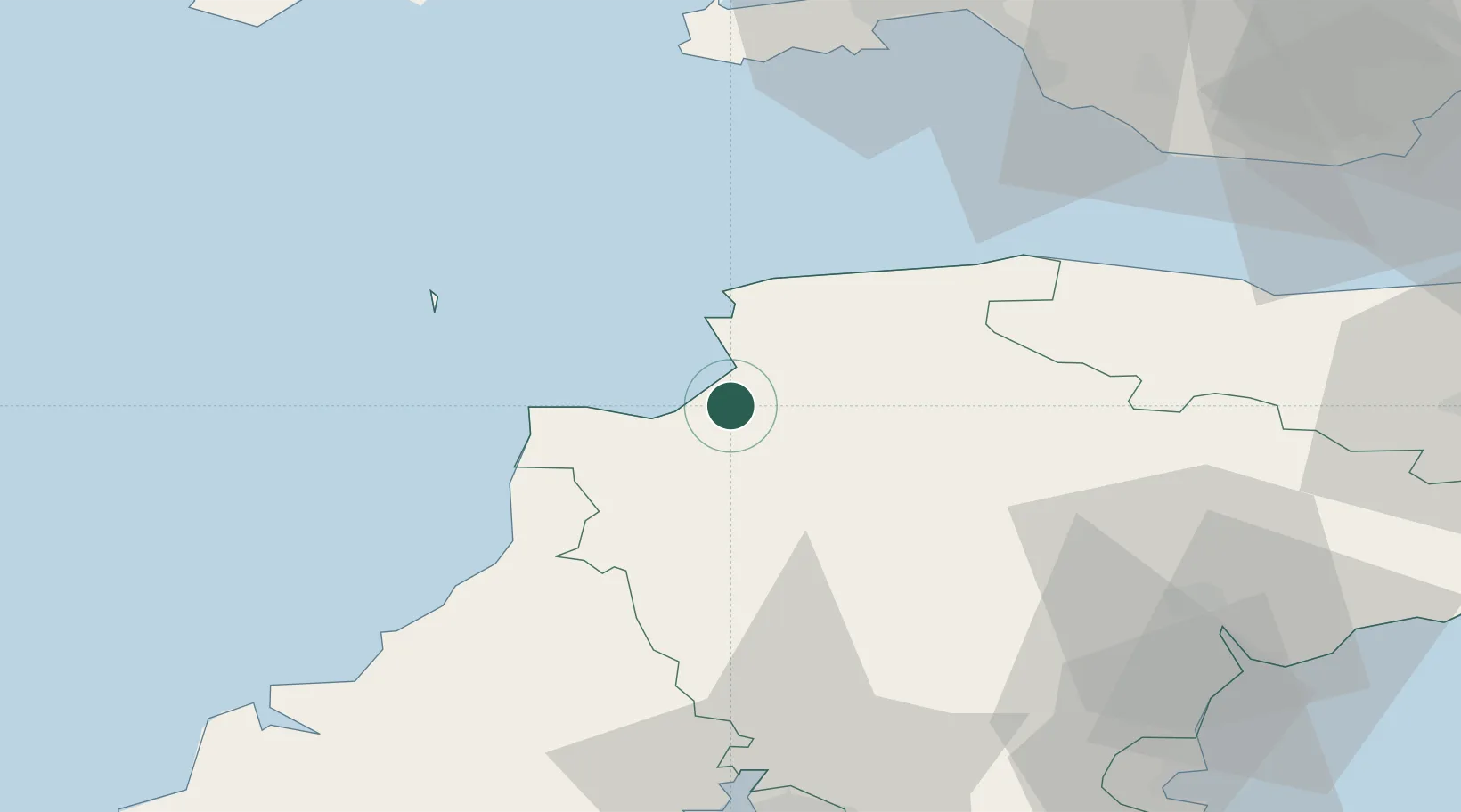
Bideford
51.0167°, -4.2167°
28,672
Population
1
Transport functions
Transport Functions
Port
Hub Profile
Place type
Populated place
Region
England
Population
28,672
Time zone
Europe/London
Elevation
42 m
Location
Nearby Logistics Neighbours
Cities
- 1Appledore4 km
- 2Instow5 km
- 3Moretonhampstead8 km
- 4Taddiport10 km
- 5Tawstock12 km
Ports
- 1Watchet Harbor64 km
- 2Port Talbot69 km
- 3Swansea69 km
- 4Padstow72 km
- 5Teignmouth Harbour72 km
Airports
- 1Royal Marines Base Chivenor9 km
- 2Hartland Point Heliport21 km
- 3Lundy Island Helipad36 km
- 4Exeter International Airport65 km
- 5Swansea Airport66 km
DatabookThe Record of Consolidated Knowledge
United Kingdom beyond logistics?