UN/LOCODE hub · United Kingdom
GBBND
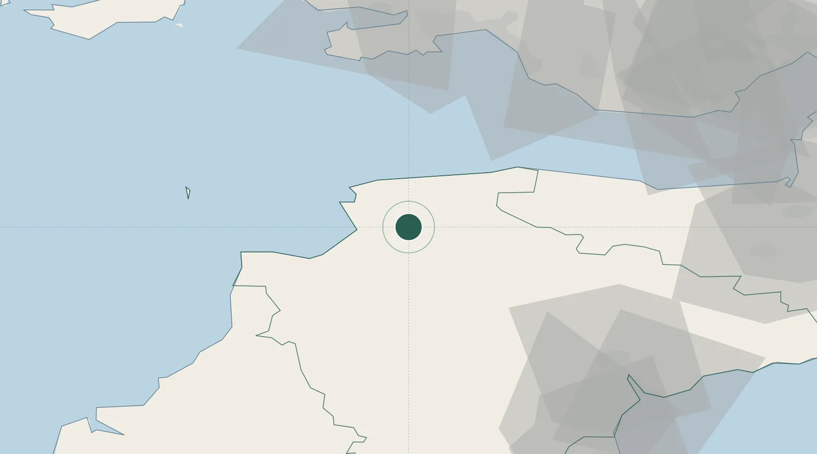
Barnstaple
51.0833°, -4.0667°
31,616
Population
3
Transport functions
Transport Functions
Port
Rail
Road
Hub Profile
Place type
Populated place
Region
England
Population
31,616
Time zone
Europe/London
Elevation
12 m
Location
Nearby Logistics Neighbours
Ports
- 1Bideford11 km
- 2Watchet Harbor52 km
- 3Port Talbot58 km
- 4Swansea60 km
- 5Neath63 km
Airports
- 1Royal Marines Base Chivenor6 km
- 2Hartland Point Heliport32 km
- 3Lundy Island Helipad43 km
- 4MOD St Athan57 km
- 5Swansea Airport58 km
DatabookThe Record of Consolidated Knowledge
United Kingdom beyond logistics?