UN/LOCODE hub · United Kingdom
GBSWC
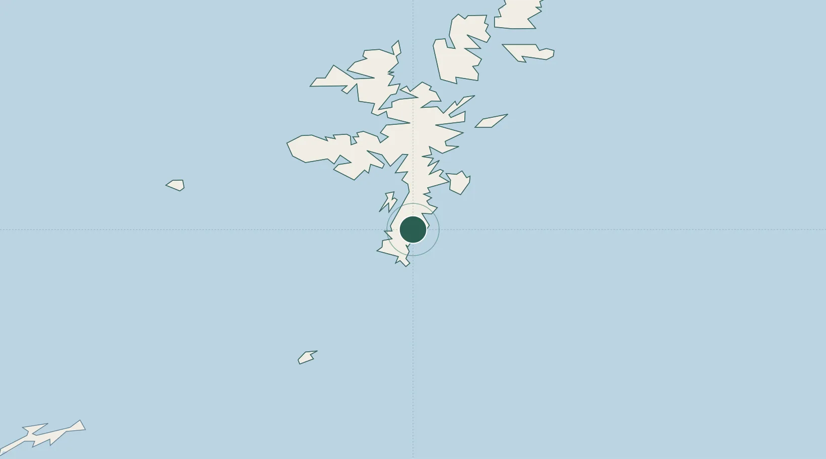
Sandwick
59.9833°, -1.2500°
1,217
Population
1
Transport functions
Transport Functions
Port
Hub Profile
Place type
Populated place
Region
Scotland
Population
1,217
Time zone
Europe/London
Elevation
14 m
Location
Nearby Logistics Neighbours
Cities
- 1Hoswick2 km
- 2Levenwick2 km
- 3Grutness13 km
- 4Hamnavoe, Burra Isle14 km
- 5Scalloway17 km
Ports
- 1Scalloway17 km
- 2Lerwick21 km
- 3Sullom Voe54 km
- 4Kettletoft113 km
- 5Whitehall121 km
Airports
- 1Sumburgh Airport12 km
- 2Lerwick / Tingwall Airport23 km
- 3Foula Airfield47 km
- 4Fair Isle Airport54 km
- 5North Ronaldsay Airport95 km
Trade Zones
DatabookThe Record of Consolidated Knowledge
United Kingdom beyond logistics?