UN/LOCODE hub · United Kingdom
GBSWA
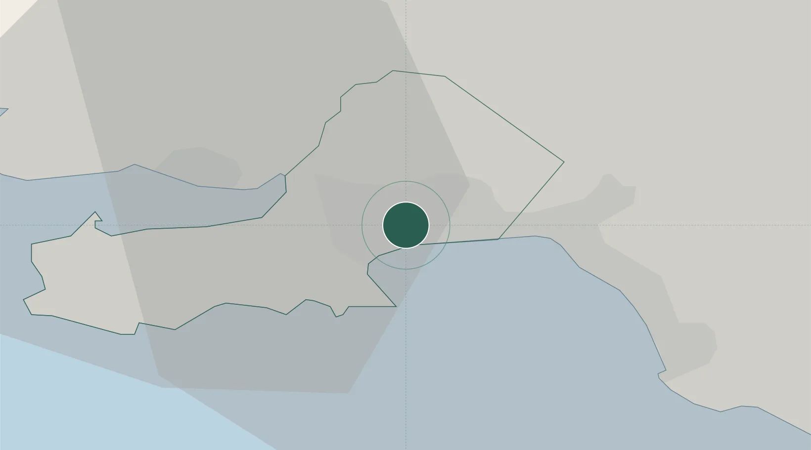
Swansea
51.6333°, -3.9667°
300,352
Population
2
Transport functions
Transport Functions
Port
Airport
Hub Profile
Place type
Provincial seat
Region
Wales
Population
300,352
Time zone
Europe/London
Elevation
18 m
Location
Nearby Logistics Neighbours
Cities
- 1Landore4 km
- 2Gowerton5 km
- 3Llansamlet6 km
- 4Pen-Clawdd8 km
- 5Briton Ferry10 km
Ports
- 1Neath9 km
- 2Port Talbot12 km
- 3Barry55 km
- 4Cardiff59 km
- 5Watchet Harbor67 km
Airports
- 1Swansea Airport8 km
- 2MOD St Athan45 km
- 3Cardiff International Airport51 km
- 4Royal Marines Base Chivenor62 km
- 5Lundy Island Helipad71 km
Trade Zones
DatabookThe Record of Consolidated Knowledge
United Kingdom beyond logistics?