UN/LOCODE hub · United Kingdom
GBBFY
Briton Ferry
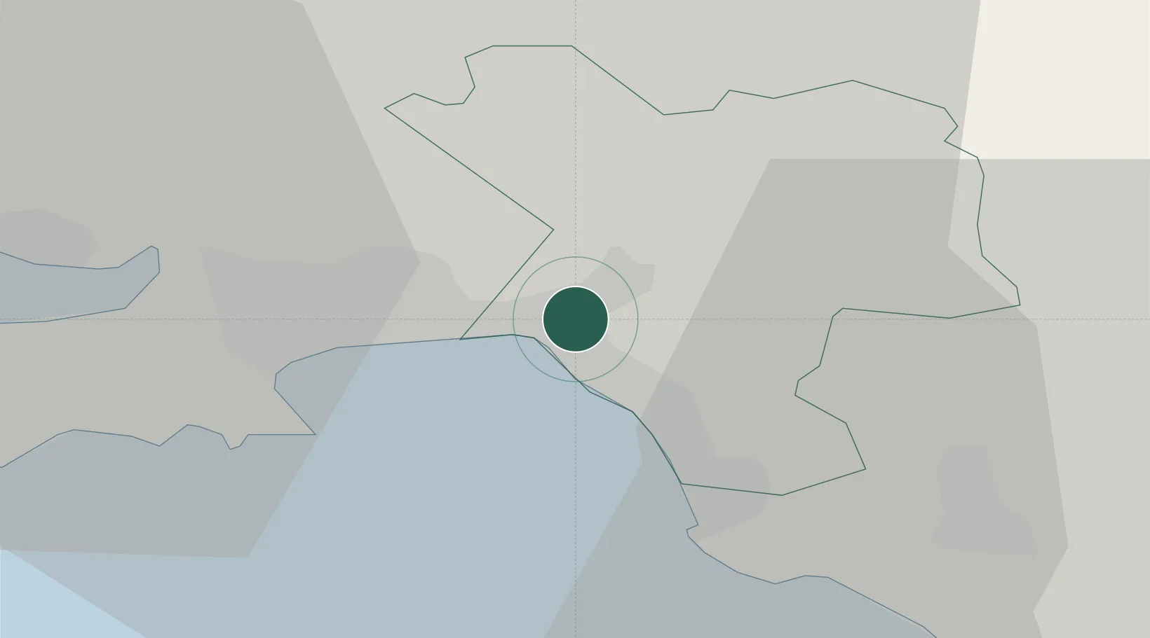
51.6333°, -3.8167°
35,179
Population
1
Transport functions
Transport Functions
Port
Hub Profile
Place type
Populated place
Region
Wales
Population
35,179
Time zone
Europe/London
Elevation
25 m
Location
Nearby Logistics Neighbours
Cities
- 1Neath2 km
- 2Port Talbot4 km
- 3Llansamlet5 km
- 4Landore7 km
- 5Swansea10 km
Ports
- 1Neath1 km
- 2Port Talbot6 km
- 3Swansea9 km
- 4Barry46 km
- 5Cardiff49 km
Airports
- 1Swansea Airport18 km
- 2MOD St Athan37 km
- 3Cardiff International Airport42 km
- 4Royal Marines Base Chivenor65 km
- 5Lundy Island Helipad79 km
Trade Zones
DatabookThe Record of Consolidated Knowledge
United Kingdom beyond logistics?