Transport Functions
Port
Road
Hub Profile
Place type
District seat
Region
Wales
Time zone
Europe/London
Elevation
43 m
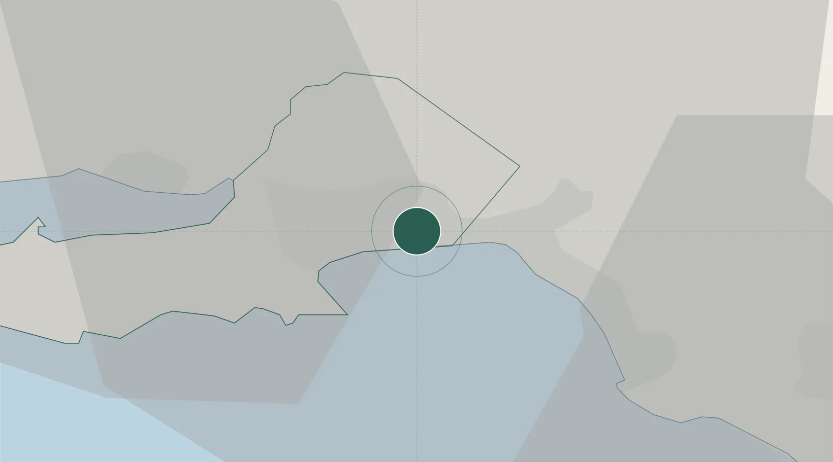
Location
Nearby Logistics Neighbours
Cities
- 1Llansamlet3 km
- 2Swansea4 km
- 3Briton Ferry7 km
- 4Gowerton8 km
- 5Neath8 km
Ports
- 1Swansea3 km
- 2Neath6 km
- 3Port Talbot9 km
- 4Barry52 km
- 5Cardiff56 km
Airports
- 1Swansea Airport11 km
- 2MOD St Athan42 km
- 3Cardiff International Airport48 km
- 4Royal Marines Base Chivenor63 km
- 5Lundy Island Helipad74 km
Trade Zones
DatabookThe Record of Consolidated Knowledge
United Kingdom beyond logistics?