Transport Functions
Rail
Road
Hub Profile
Place type
Populated place
Region
Wales
Time zone
Europe/London
Elevation
23 m
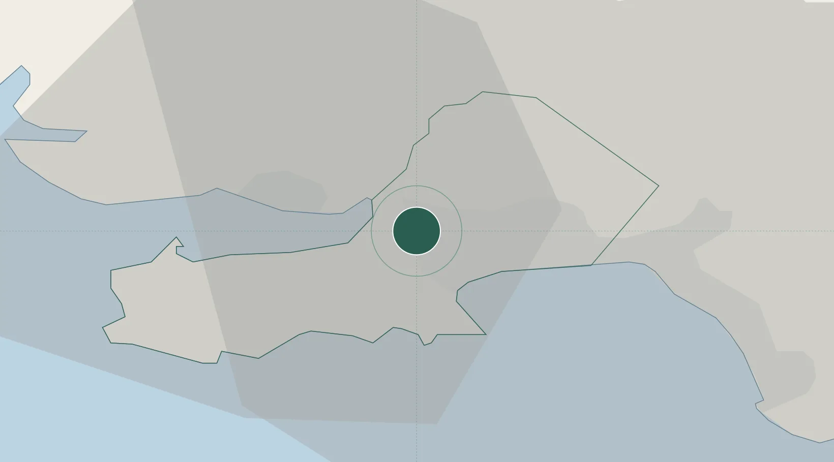
Location
Nearby Logistics Neighbours
Cities
- 1Pen-Clawdd4 km
- 2Swansea5 km
- 3Pontardulais8 km
- 4Llanelli8 km
- 5Landore8 km
Ports
- 1Swansea7 km
- 2Neath14 km
- 3Port Talbot17 km
- 4Barry60 km
- 5Cardiff64 km
Airports
- 1Swansea Airport6 km
- 2MOD St Athan50 km
- 3Cardiff International Airport55 km
- 4Royal Marines Base Chivenor63 km
- 5Haverfordwest Airport67 km
Trade Zones
DatabookThe Record of Consolidated Knowledge
United Kingdom beyond logistics?