UN/LOCODE hub · United Kingdom
GBPDD
Pen-Clawdd
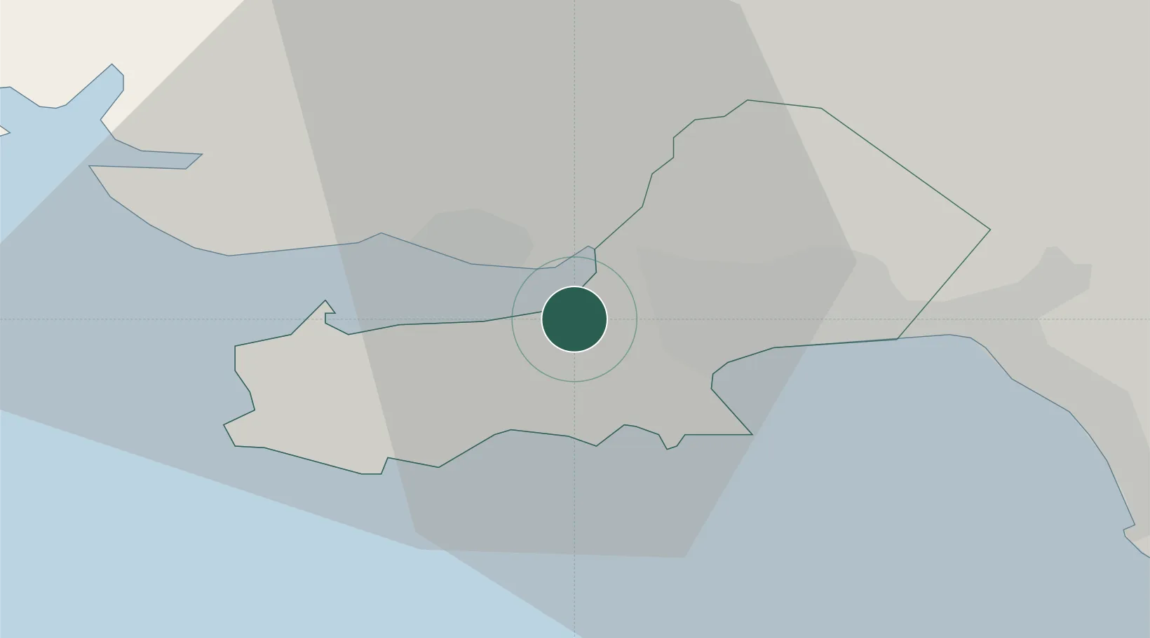
51.6333°, -4.0833°
1,935
Population
1
Transport functions
Transport Functions
Port
Hub Profile
Place type
Populated place
Region
Wales
Population
1,935
Time zone
Europe/London
Elevation
30 m
Location
Nearby Logistics Neighbours
Cities
- 1Gowerton4 km
- 2Llanelli6 km
- 3Swansea8 km
- 4Reynoldston9 km
- 5Pontardulais9 km
Ports
- 1Swansea9 km
- 2Neath17 km
- 3Port Talbot19 km
- 4Barry62 km
- 5Milford Haven66 km
Airports
- 1Swansea Airport4 km
- 2MOD St Athan52 km
- 3Cardiff International Airport58 km
- 4Royal Marines Base Chivenor61 km
- 5Haverfordwest Airport64 km
Trade Zones
DatabookThe Record of Consolidated Knowledge
United Kingdom beyond logistics?