Transport Functions
Port
Road
Hub Profile
Place type
Populated place
Region
Scotland
Population
1,670
Time zone
Europe/London
Elevation
33 m
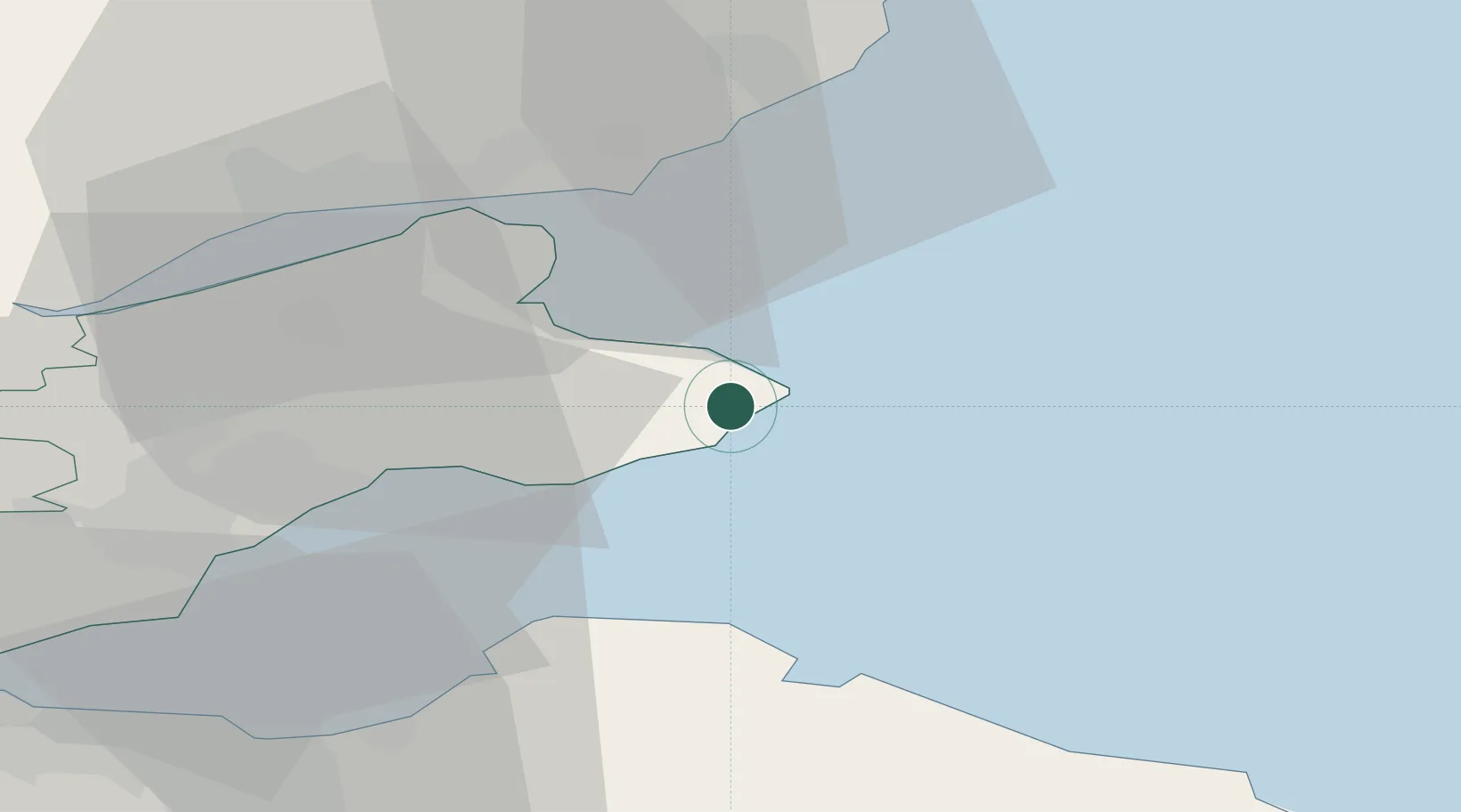
Location
Nearby Logistics Neighbours
Cities
- 1Cellardyke4 km
- 2Anstruther7 km
- 3Pittenweem8 km
- 4Saint Monance (Saint Monans)10 km
- 5St Andrews12 km
Ports
- 1Methil25 km
- 2Dundee30 km
- 3Dunbar31 km
- 4Burntisland44 km
- 5Leith46 km
Airports
- 1Leuchars Station Airfield19 km
- 2Dundee Airport32 km
- 3Edinburgh Airport58 km
- 4Aberdeen International Airport107 km
- 5Glasgow Airport120 km
Trade Zones
DatabookThe Record of Consolidated Knowledge
United Kingdom beyond logistics?