UN/LOCODE hub · United Kingdom
GBSMC

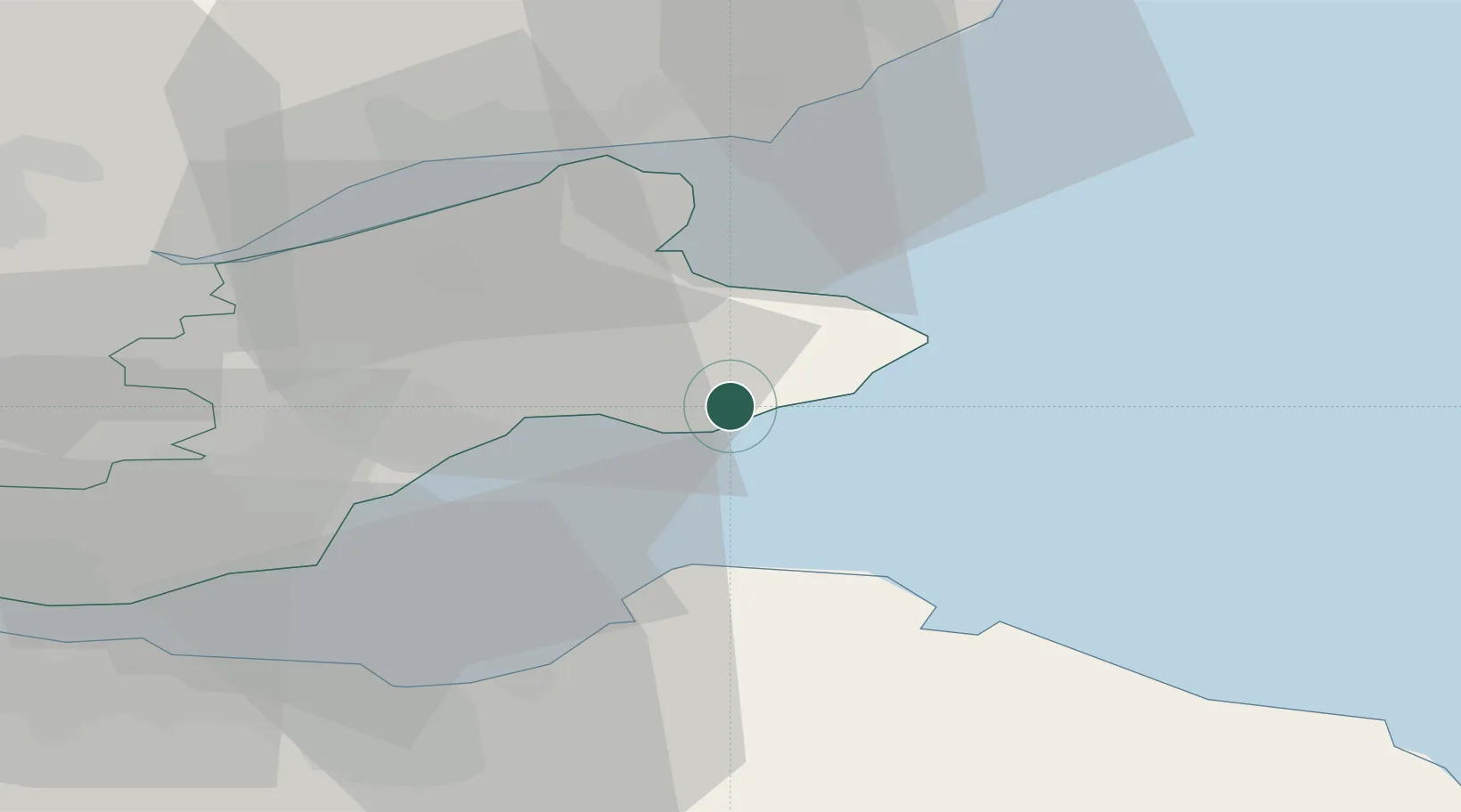
Saint Monance (Saint Monans)

56.2167°, -2.7667°
2
Transport functions

Transport Functions

Port
Road
UN/LOCODE

Hub Profile

Region
FIF
GeoNames

Location

Location of GBSMC
Natural Earth 10m (public domain) · FIF · GBSMC · 56.22, -2.77GoogleOSMYandex

Nearby Logistics Neighbours

Cities
  1. 1Pittenweem2 km
  2. 2Elie4 km
  3. 3Anstruther4 km
  4. 4Cellardyke7 km
  5. 5Crail10 km
Nearest neighbours — logibook spatial index (haversine) over the source coordinates
Ports
  1. 1Methil15 km
  2. 2Dunbar29 km
  3. 3Dundee30 km
  4. 4Burntisland34 km
  5. 5Leith37 km
Nearest neighbours — logibook spatial index (haversine) over the source coordinates
Airports
  1. 1Leuchars Station Airfield19 km
  2. 2Dundee Airport31 km
  3. 3Edinburgh Airport48 km
  4. 4Glasgow Airport110 km
  5. 5Aberdeen International Airport115 km
Nearest neighbours — logibook spatial index (haversine) over the source coordinates
Trade Zones
  1. 1Prestwick Airport Free Zone139 km
  2. 2Carlisle Kingmoor Park Enterprise Zone143 km
  3. 3North Eastern Enterprise Zone157 km
  4. 4Tees Valley Enterprise Zone206 km
  5. 5Isle of Man Free Zone and Business Park264 km
Nearest neighbours — logibook spatial index (haversine) over the source coordinates
DatabookThe Record of Consolidated Knowledge
United Kingdom beyond logistics?
Browse databook

All Sources

LocationsUN/LOCODE
UN/LOCODE — free
Portsthe NGA World Port Index
Public domain (US gov)
AirportsOurAirports
Public domain
Trade Zonesthe World Bank SEZ database
CC BY 4.0
Trade ZonesOpen Zone Map
CC BY
← United Kingdom locations