UN/LOCODE hub · United Kingdom
GBPWM
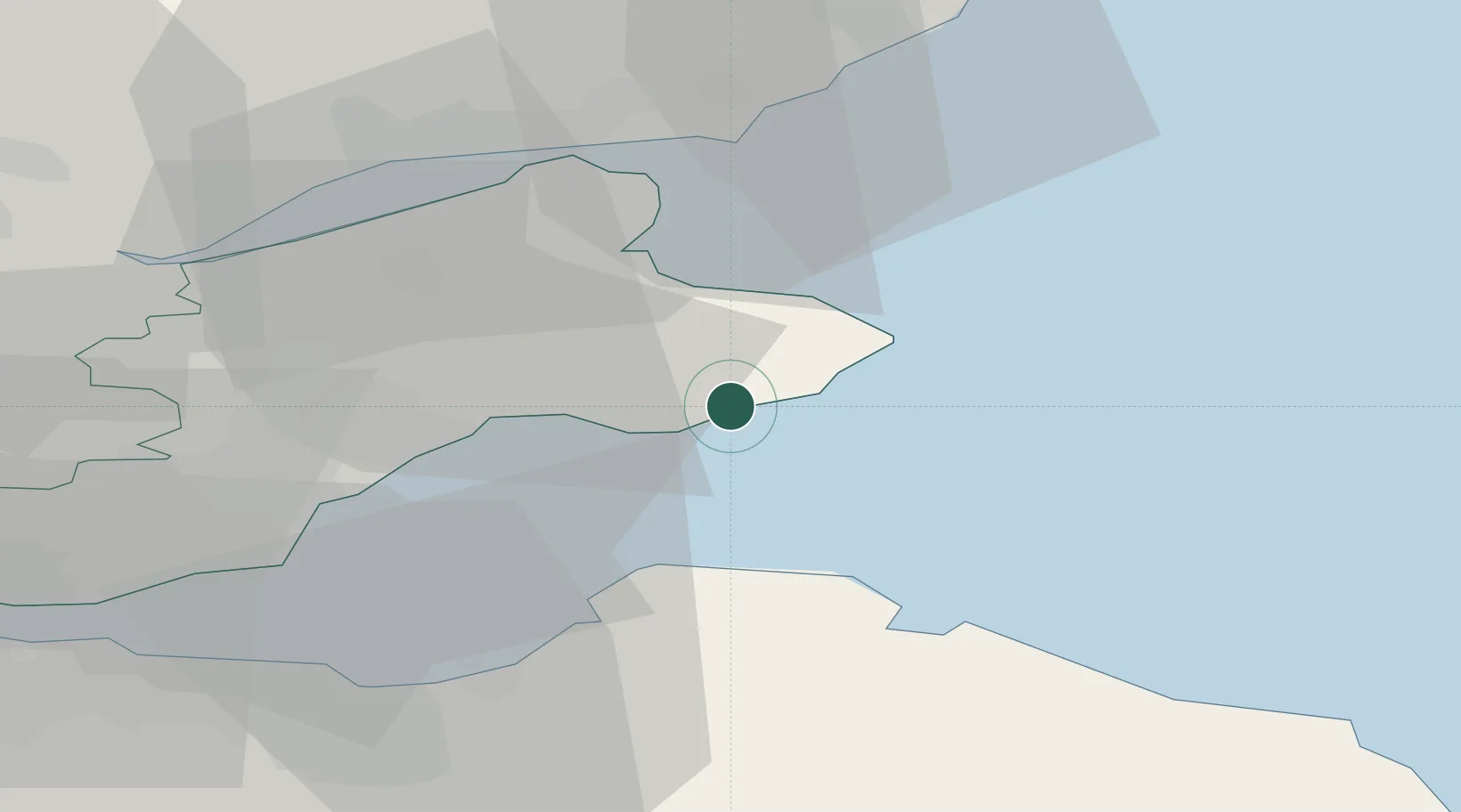
Pittenweem
56.2167°, -2.7333°
1,490
Population
2
Transport functions
Transport Functions
Port
Road
Hub Profile
Place type
Populated place
Region
Scotland
Population
1,490
Time zone
Europe/London
Elevation
26 m
Location
Nearby Logistics Neighbours
Cities
- 1Anstruther2 km
- 2Saint Monance (Saint Monans)2 km
- 3Cellardyke6 km
- 4Elie6 km
- 5Crail8 km
Ports
- 1Methil17 km
- 2Dunbar28 km
- 3Dundee31 km
- 4Burntisland36 km
- 5Leith38 km
Airports
- 1Leuchars Station Airfield19 km
- 2Dundee Airport32 km
- 3Edinburgh Airport50 km
- 4Glasgow Airport112 km
- 5Aberdeen International Airport114 km
Trade Zones
DatabookThe Record of Consolidated Knowledge
United Kingdom beyond logistics?