UN/LOCODE hub · United Kingdom
GBBLZ
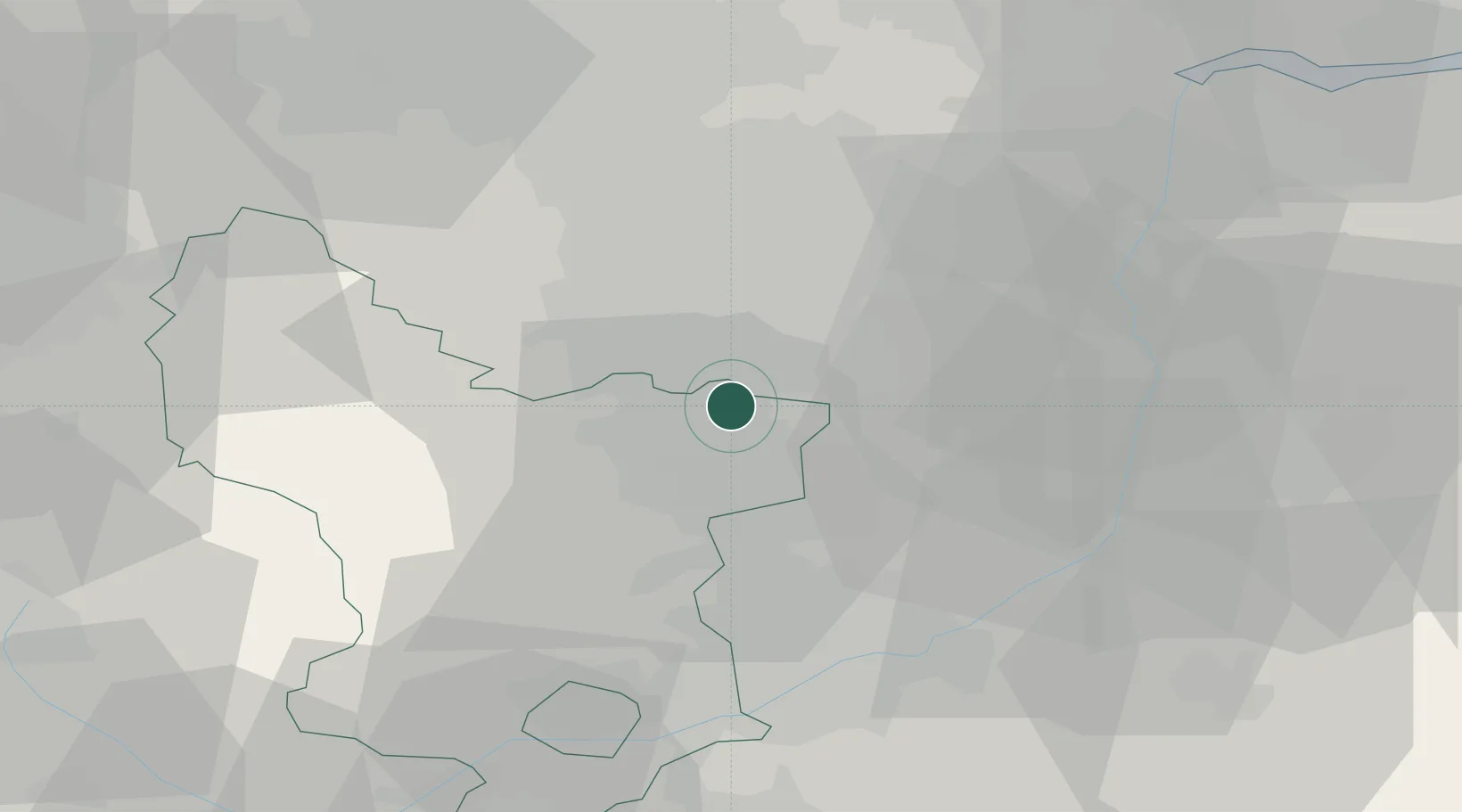
Barlborough
53.2833°, -1.2833°
2,975
Population
2
Transport functions
Transport Functions
Port
Multimodal
Hub Profile
Place type
Populated place
Region
England
Population
2,975
Time zone
Europe/London
Elevation
141 m
Location
Nearby Logistics Neighbours
Cities
- 1Staveley5 km
- 2Shirebrook10 km
- 3Holmewood12 km
- 4Scarcliffe12 km
- 5Pleasley13 km
Ports
- 1Goole55 km
- 2Howdendyke57 km
- 3Manchester69 km
- 4New Holland76 km
- 5Immingham82 km
Airports
- 1Nottingham City Airport43 km
- 2East Midlands Airport50 km
- 3RAF Waddington52 km
- 4RAF Cranwell60 km
- 5RAF Barkston Heath60 km
DatabookThe Record of Consolidated Knowledge
United Kingdom beyond logistics?