UN/LOCODE hub · United Kingdom
GBSCH

Stockinish

57.8000°, -6.1667°
1
Transport functions

Transport Functions

Port
UN/LOCODE

Hub Profile

Region
ELS
GeoNames

Location

Location of GBSCH
Natural Earth 10m (public domain) · ELS · GBSCH · 57.80, -6.17GoogleOSMYandex

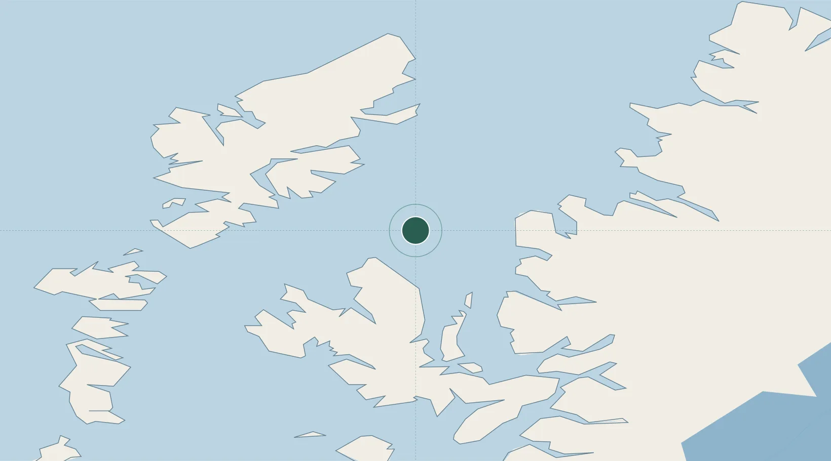
Nearby Logistics Neighbours

Cities
  1. 1Eishken13 km
  2. 2Loch Torridon20 km
  3. 3South Harris26 km
  4. 4Uig27 km
  5. 5Rudh Re - Red Point28 km
Nearest neighbours — logibook spatial index (haversine) over the source coordinates
Ports
  1. 1Uig26 km
  2. 2Gairloch30 km
  3. 3Aultbea35 km
  4. 4Tarbert40 km
  5. 5Portree Harbor43 km
Nearest neighbours — logibook spatial index (haversine) over the source coordinates
Airports
  1. 1Stornoway Airport47 km
  2. 2Benbecula Airport80 km
  3. 3Barra Airport115 km
  4. 4Inverness Airport129 km
  5. 5Coll Airport136 km
Nearest neighbours — logibook spatial index (haversine) over the source coordinates
Trade Zones
  1. 1Prestwick Airport Free Zone272 km
  2. 2Carlisle Kingmoor Park Enterprise Zone375 km
  3. 3Isle of Man Free Zone and Business Park423 km
  4. 4Blackpool Enterprise Zone489 km
  5. 5Hillhouse Enterprise Zone490 km
Nearest neighbours — logibook spatial index (haversine) over the source coordinates
DatabookThe Record of Consolidated Knowledge
United Kingdom beyond logistics?
Browse databook

All Sources

LocationsUN/LOCODE
UN/LOCODE — free
Portsthe NGA World Port Index
Public domain (US gov)
AirportsOurAirports
Public domain
Trade Zonesthe World Bank SEZ database
CC BY 4.0
Trade ZonesOpen Zone Map
CC BY
← United Kingdom locations