Transport Functions
Port
Rail
Road
Multimodal
Hub Profile
Place type
Populated place
Region
Scotland
Population
2,190
Time zone
Europe/London
Elevation
171 m
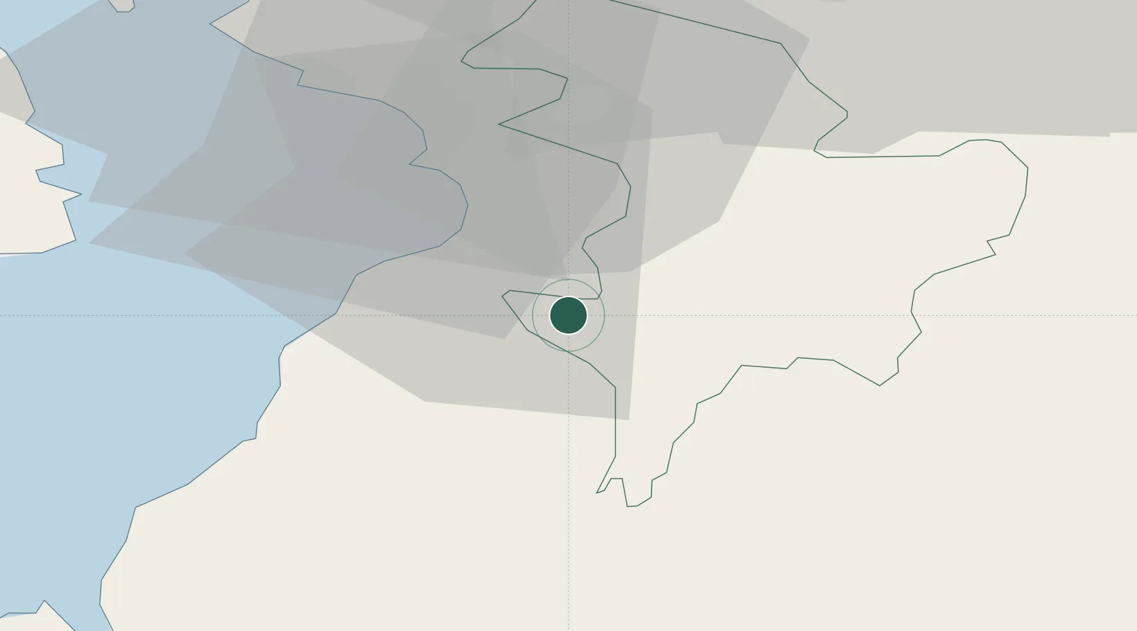
Location
Nearby Logistics Neighbours
Cities
- 1Kirkmichael8 km
- 2Ayr12 km
- 3Saint Quivox14 km
- 4Prestwick15 km
- 5Dunure16 km
Ports
- 1Ayr14 km
- 2Troon23 km
- 3Ardrossan37 km
- 4Lamlash Harbor43 km
- 5Hunterston49 km
Airports
- 1Glasgow Prestwick Airport16 km
- 2Glasgow Airport56 km
- 3Campbeltown Airport75 km
- 4Edinburgh Airport96 km
- 5Islay Airport116 km
Trade Zones
DatabookThe Record of Consolidated Knowledge
United Kingdom beyond logistics?