Transport Functions
Rail
Road
Multimodal
Hub Profile
Place type
Populated place
Region
Scotland
Time zone
Europe/London
Elevation
58 m
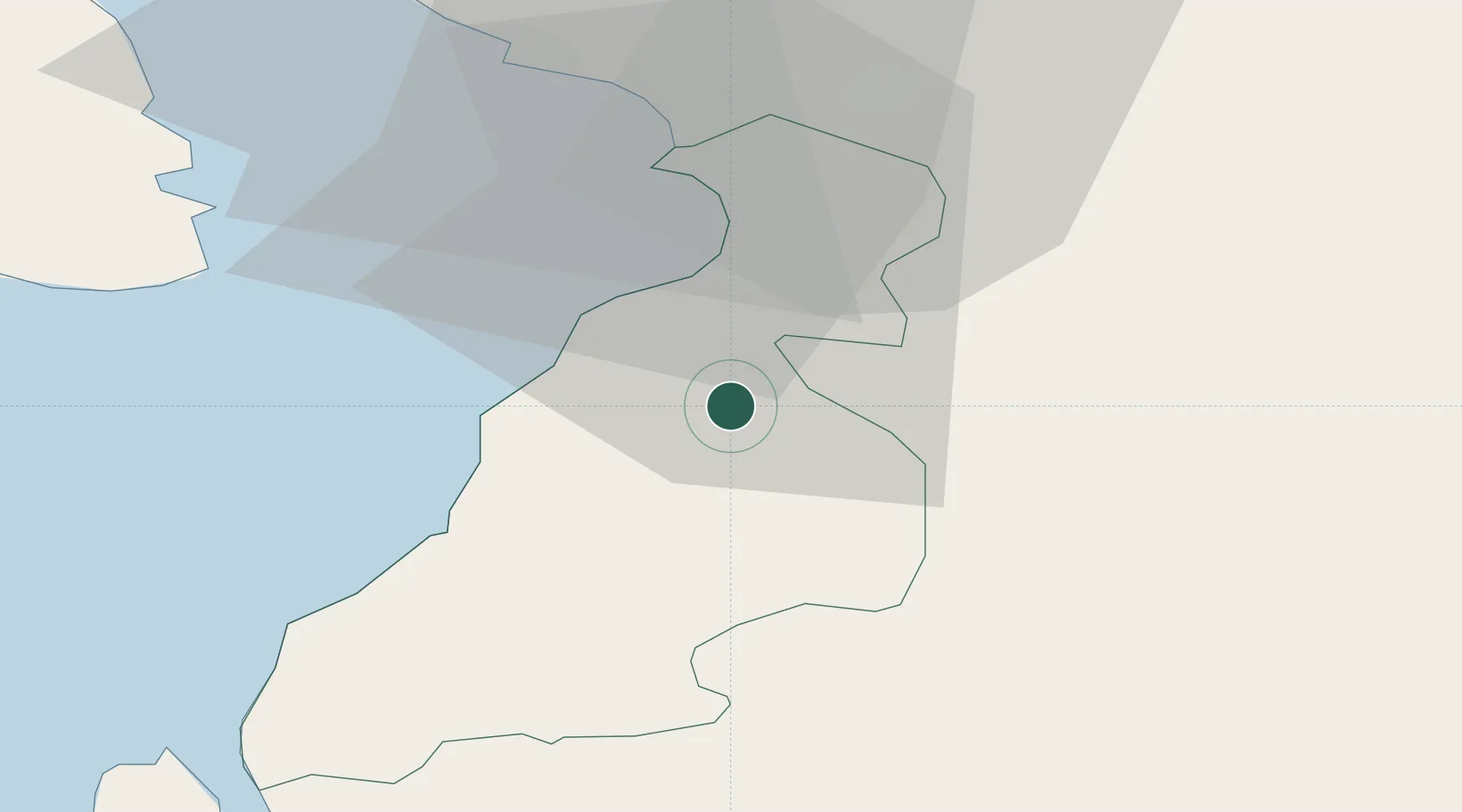
Location
Nearby Logistics Neighbours
Ports
- 1Ayr15 km
- 2Troon25 km
- 3Ardrossan37 km
- 4Lamlash Harbor39 km
- 5Hunterston49 km
Airports
- 1Glasgow Prestwick Airport19 km
- 2Glasgow Airport61 km
- 3Campbeltown Airport69 km
- 4Edinburgh Airport104 km
- 5Islay Airport110 km
Trade Zones
DatabookThe Record of Consolidated Knowledge
United Kingdom beyond logistics?