Transport Functions
Port
Hub Profile
Place type
Provincial seat
Region
Scotland
Population
46,260
Time zone
Europe/London
Elevation
13 m
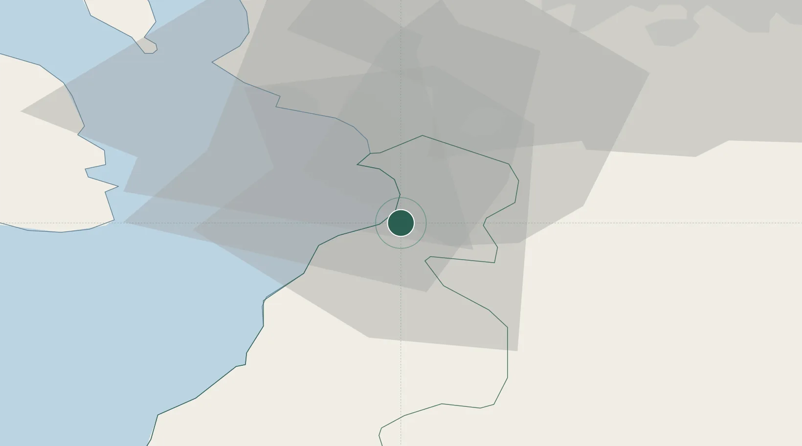
Location
Nearby Logistics Neighbours
Cities
- 1Prestwick4 km
- 2Saint Quivox5 km
- 3Monkton8 km
- 4Symington10 km
- 5Dunure11 km
Ports
- 1Troon12 km
- 2Ardrossan26 km
- 3Lamlash Harbor33 km
- 4Hunterston37 km
- 5Millport38 km
Airports
- 1Glasgow Prestwick Airport6 km
- 2Glasgow Airport48 km
- 3Campbeltown Airport68 km
- 4Edinburgh Airport96 km
- 5Islay Airport106 km
Trade Zones
DatabookThe Record of Consolidated Knowledge
United Kingdom beyond logistics?