Channel & Berth Profile
Pilotage, Tugs & Services
Pilotage compulsoryYES
Pilotage availableYES
Tug assistanceYES
Potable waterYES
Diesel bunkersYES
MedicalYES
Garbage disposalYES
Facilities & Capabilities
Container—
Ro-Ro—
Liquid bulk—
Dry bulk—
Oil terminal—
Break bulk—
Dry dock—
RepairsNO
BunkeringYES
Rail linkYES
Dangerous cargo—
ISPS security—
Harbour Specifications
Harbour size
Very Small
Harbour type
Open Roadstead
Shelter
Poor
Water body
North Atlantic Ocean
Tidal range
3 m
Pilotage
Yes
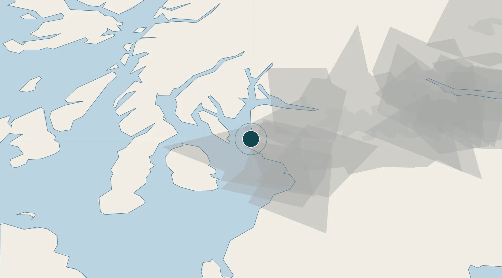
Location
Nearby Logistics Neighbours
Ports
- 1Millport2 km
- 2Largs6 km
- 3Ardrossan12 km
- 4Rothesay Harbor14 km
- 5Greenock24 km
Cities
- 1Fairlie2 km
- 2Cumbraes3 km
- 3Cumbrae Slip, Great Cumbrae4 km
- 4Millport, Great Cumbrae4 km
- 5Largs4 km
Airports
- 1Glasgow Airport31 km
- 2Glasgow Prestwick Airport34 km
- 3Campbeltown Airport61 km
- 4Oban Airport86 km
- 5Islay Airport86 km
Trade Zones
DatabookThe Record of Consolidated Knowledge
United Kingdom beyond logistics?