UN/LOCODE hub · United Kingdom
GBPIK
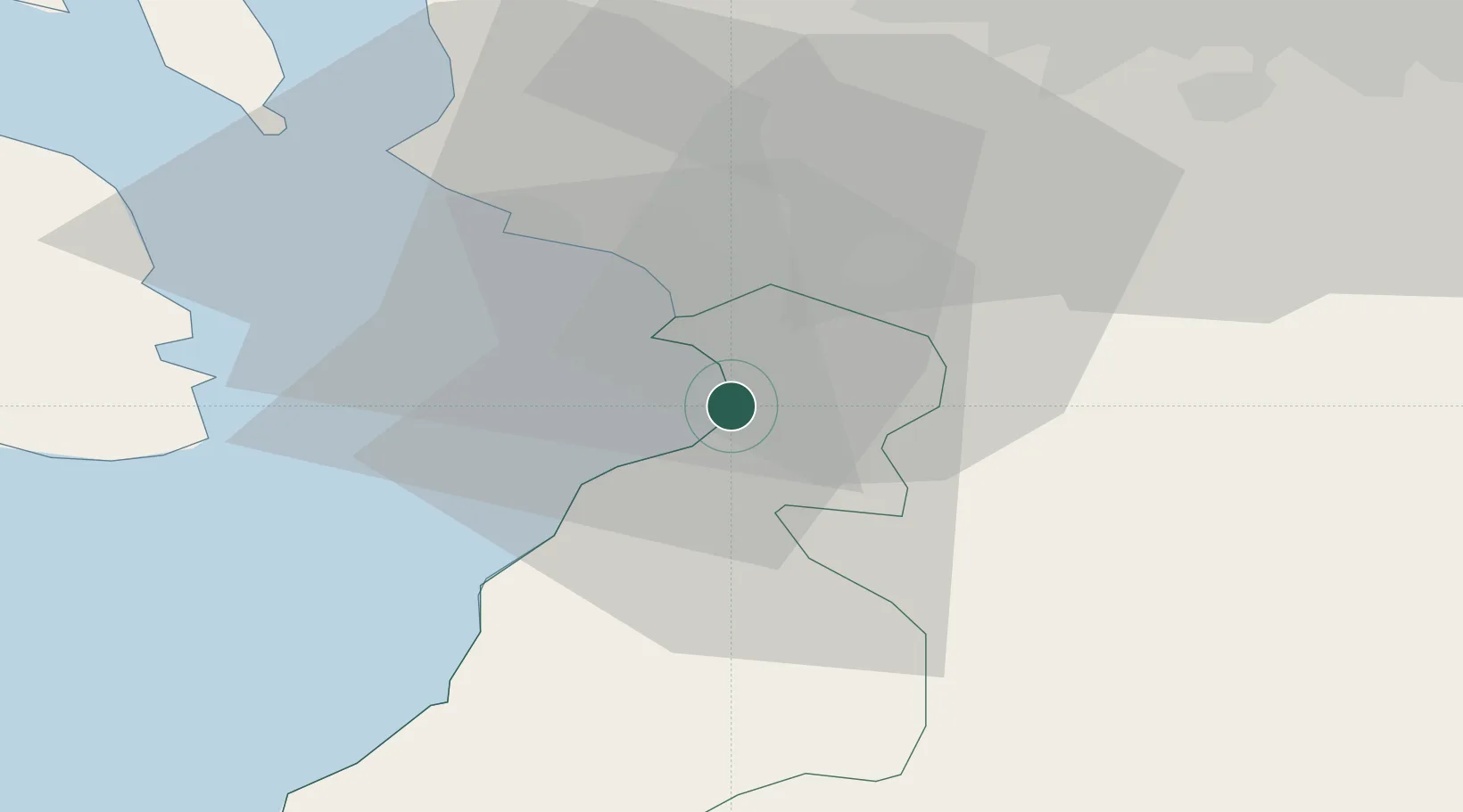
Prestwick
55.4833°, -4.6167°
14,750
Population
3
Transport functions
Transport Functions
Rail
Road
Airport
Hub Profile
Place type
Populated place
Region
Scotland
Population
14,750
Time zone
Europe/London
Elevation
14 m
Location
Nearby Logistics Neighbours
Cities
- 1Saint Quivox3 km
- 2Ayr4 km
- 3Monkton4 km
- 4Symington6 km
- 5Troon8 km
Ports
- 1Ayr2 km
- 2Troon9 km
- 3Ardrossan22 km
- 4Lamlash Harbor32 km
- 5Hunterston34 km
Airports
- 1Glasgow Prestwick Airport3 km
- 2Glasgow Airport45 km
- 3Campbeltown Airport68 km
- 4Edinburgh Airport94 km
- 5Islay Airport106 km
Trade Zones
DatabookThe Record of Consolidated Knowledge
United Kingdom beyond logistics?