Transport Functions
Port
Hub Profile
Place type
Populated place
Region
Scotland
Time zone
Europe/London
Elevation
22 m
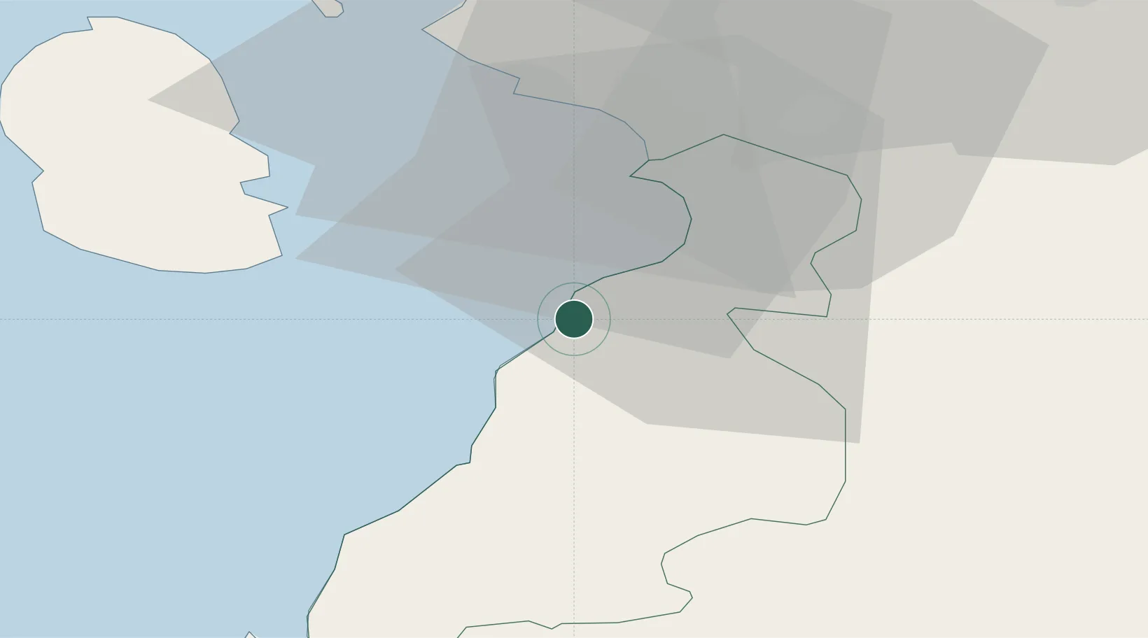
Location
Nearby Logistics Neighbours
Cities
- 1Maidens6 km
- 2Kirkmichael10 km
- 3Ayr11 km
- 4Prestwick14 km
- 5Patna16 km
Ports
- 1Ayr12 km
- 2Troon19 km
- 3Lamlash Harbor29 km
- 4Ardrossan30 km
- 5Hunterston42 km
Airports
- 1Glasgow Prestwick Airport17 km
- 2Glasgow Airport58 km
- 3Campbeltown Airport59 km
- 4Islay Airport101 km
- 5Edinburgh Airport107 km
Trade Zones
DatabookThe Record of Consolidated Knowledge
United Kingdom beyond logistics?