Transport Functions
Port
Rail
Road
Hub Profile
Region
SAY
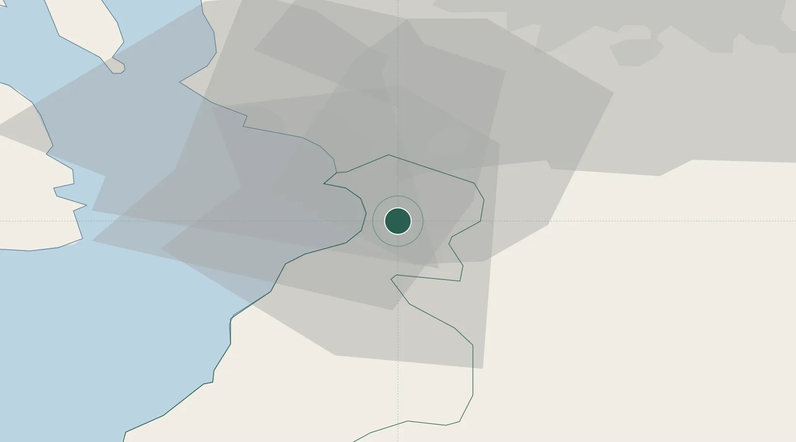
Location
Nearby Logistics Neighbours
Ports
- 1Ayr5 km
- 2Troon10 km
- 3Ardrossan24 km
- 4Lamlash Harbor35 km
- 5Hunterston36 km
Airports
- 1Glasgow Prestwick Airport2 km
- 2Glasgow Airport44 km
- 3Campbeltown Airport71 km
- 4Edinburgh Airport91 km
- 5Islay Airport109 km
Trade Zones
DatabookThe Record of Consolidated Knowledge
United Kingdom beyond logistics?