Transport Functions
Port
Road
Hub Profile
Place type
Populated place
Region
England
Population
1,955
Time zone
Europe/London
Elevation
69 m
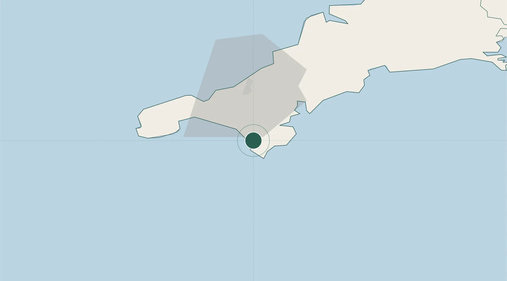
Location
Nearby Logistics Neighbours
Cities
- 1Ruan Minor7 km
- 2Cadgwith7 km
- 3Gweek8 km
- 4Helford River8 km
- 5Porthleven8 km
Ports
- 1Falmouth Harbour18 km
- 2Hayle21 km
- 3Penzance23 km
- 4Newlyn24 km
- 5Mevagissey41 km
Airports
- 1RNAS Culdrose6 km
- 2Penzance Heliport23 km
- 3Land's End Airport32 km
- 4Cornwall Airport Newquay48 km
- 5St. Mary's Airport77 km
Trade Zones
DatabookThe Record of Consolidated Knowledge
United Kingdom beyond logistics?