UN/LOCODE hub · United Kingdom
GBPDL

Pontardulais

51.7167°, -4.0833°
2
Transport functions

Transport Functions

Port
Road
UN/LOCODE

Hub Profile

Region
SWA
GeoNames

Location

Location of GBPDL
Natural Earth 10m (public domain) · SWA · GBPDL · 51.72, -4.08GoogleOSMYandex

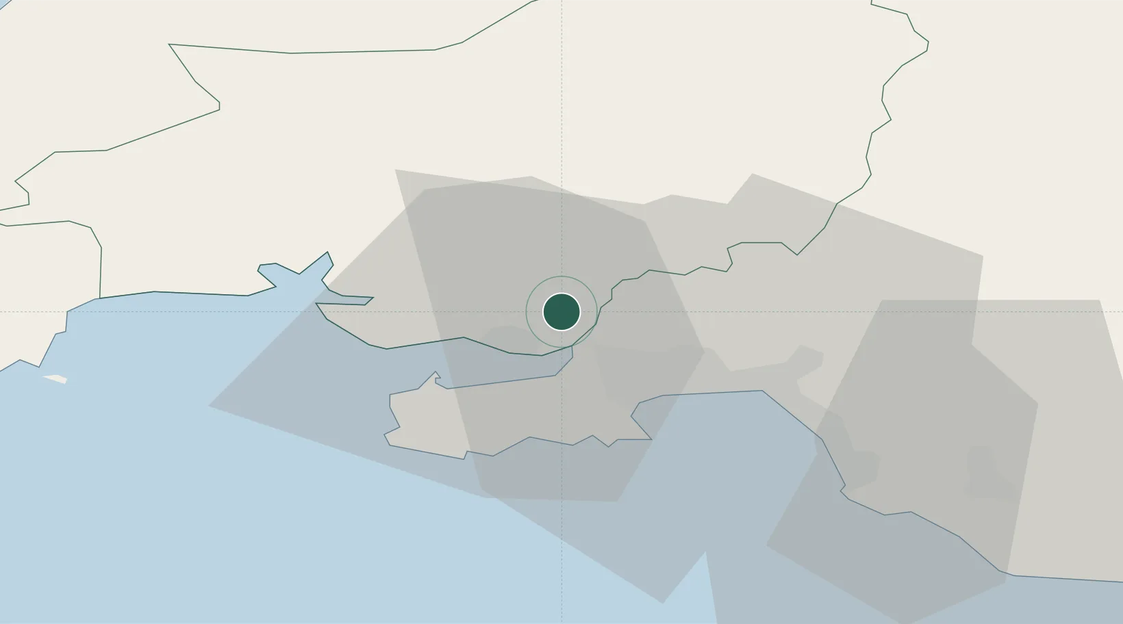
Nearby Logistics Neighbours

Cities
  1. 1Llanelli7 km
  2. 2Gowerton8 km
  3. 3Pen-Clawdd9 km
  4. 4Nottage11 km
  5. 5Burry Port12 km
Nearest neighbours — logibook spatial index (haversine) over the source coordinates
Ports
  1. 1Swansea14 km
  2. 2Neath20 km
  3. 3Port Talbot24 km
  4. 4Milford Haven65 km
  5. 5Barry67 km
Nearest neighbours — logibook spatial index (haversine) over the source coordinates
Airports
  1. 1Swansea Airport13 km
  2. 2MOD St Athan57 km
  3. 3Haverfordwest Airport62 km
  4. 4Cardiff International Airport62 km
  5. 5Royal Marines Base Chivenor70 km
Nearest neighbours — logibook spatial index (haversine) over the source coordinates
Trade Zones
  1. 1Ceramics Valley100 km
  2. 2Hereford Enterprise Zone103 km
  3. 3Bristol Temple Quarter Enterprise Zone108 km
  4. 4Exeter & East Devon Enterprise Zone118 km
  5. 5Heart of the South West Enterprise Zone147 km
Nearest neighbours — logibook spatial index (haversine) over the source coordinates
DatabookThe Record of Consolidated Knowledge
United Kingdom beyond logistics?
Browse databook

All Sources

LocationsUN/LOCODE
UN/LOCODE — free
Portsthe NGA World Port Index
Public domain (US gov)
AirportsOurAirports
Public domain
Trade Zonesthe World Bank SEZ database
CC BY 4.0
Trade ZonesOpen Zone Map
CC BY
← United Kingdom locations