UN/LOCODE hub · United Kingdom
GBBPT
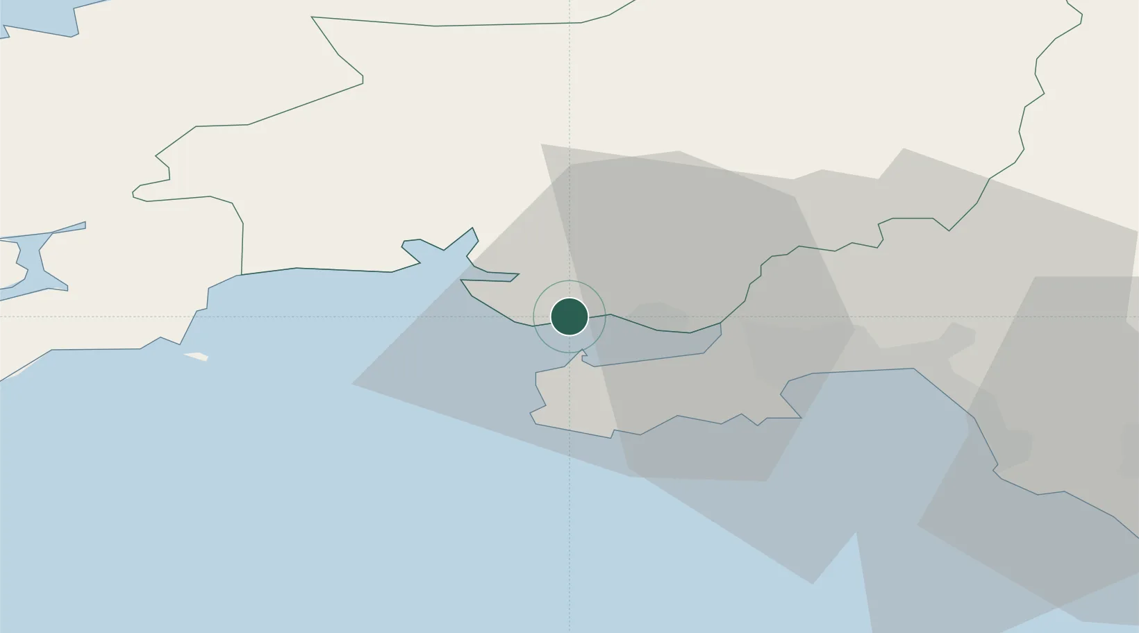
Burry Port
51.6833°, -4.2500°
8,310
Population
3
Transport functions
Transport Functions
Port
Rail
Road
Hub Profile
Place type
Populated place
Region
Wales
Population
8,310
Time zone
Europe/London
Elevation
8 m
Location
Nearby Logistics Neighbours
Cities
- 1Pembrey1 km
- 2Llanelli7 km
- 3Reynoldston12 km
- 4Pontardulais12 km
- 5Ferryside12 km
Ports
- 1Swansea22 km
- 2Neath29 km
- 3Port Talbot32 km
- 4Milford Haven54 km
- 5Fishguard63 km
Airports
- 1Swansea Airport15 km
- 2Haverfordwest Airport52 km
- 3MOD St Athan64 km
- 4Lundy Island Helipad65 km
- 5Royal Marines Base Chivenor67 km
Trade Zones
DatabookThe Record of Consolidated Knowledge
United Kingdom beyond logistics?