UN/LOCODE hub · United Kingdom
GBLLN
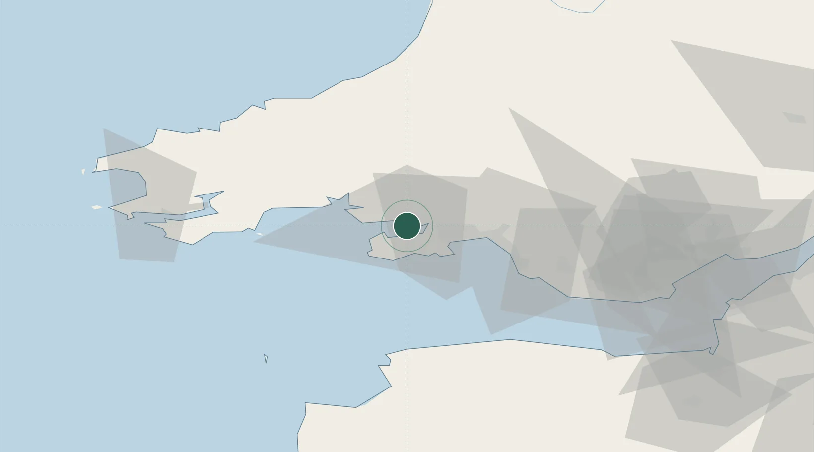
Llanelli
51.6667°, -4.1500°
49,591
Population
1
Transport functions
Transport Functions
Port
Hub Profile
Place type
Populated place
Region
Wales
Population
49,591
Time zone
Europe/London
Elevation
13 m
Location
Nearby Logistics Neighbours
Cities
- 1Pen-Clawdd6 km
- 2Burry Port7 km
- 3Pontardulais7 km
- 4Pembrey8 km
- 5Gowerton8 km
Ports
- 1Swansea15 km
- 2Neath22 km
- 3Port Talbot25 km
- 4Milford Haven61 km
- 5Barry68 km
Airports
- 1Swansea Airport9 km
- 2MOD St Athan58 km
- 3Haverfordwest Airport59 km
- 4Cardiff International Airport63 km
- 5Royal Marines Base Chivenor64 km
Trade Zones
DatabookThe Record of Consolidated Knowledge
United Kingdom beyond logistics?