Transport Functions
Multimodal
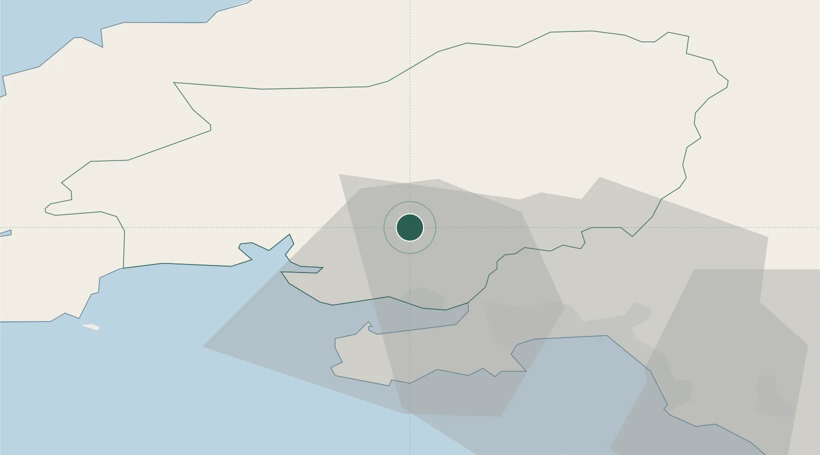
Hub Profile
Place type
Populated place
Region
Wales
Time zone
Europe/London
Elevation
22 m
Location
Nearby Logistics Neighbours
Cities
- 1Pontardulais11 km
- 2Burry Port14 km
- 3Ferryside14 km
- 4Pembrey15 km
- 5Llanelli15 km
Ports
- 1Swansea25 km
- 2Neath30 km
- 3Port Talbot34 km
- 4Milford Haven60 km
- 5Fishguard61 km
Airports
- 1Swansea Airport23 km
- 2Haverfordwest Airport55 km
- 3MOD St Athan67 km
- 4Cardiff International Airport72 km
- 5Lundy Island Helipad79 km
Trade Zones
DatabookThe Record of Consolidated Knowledge
United Kingdom beyond logistics?