UN/LOCODE hub · United Kingdom
GBRYL
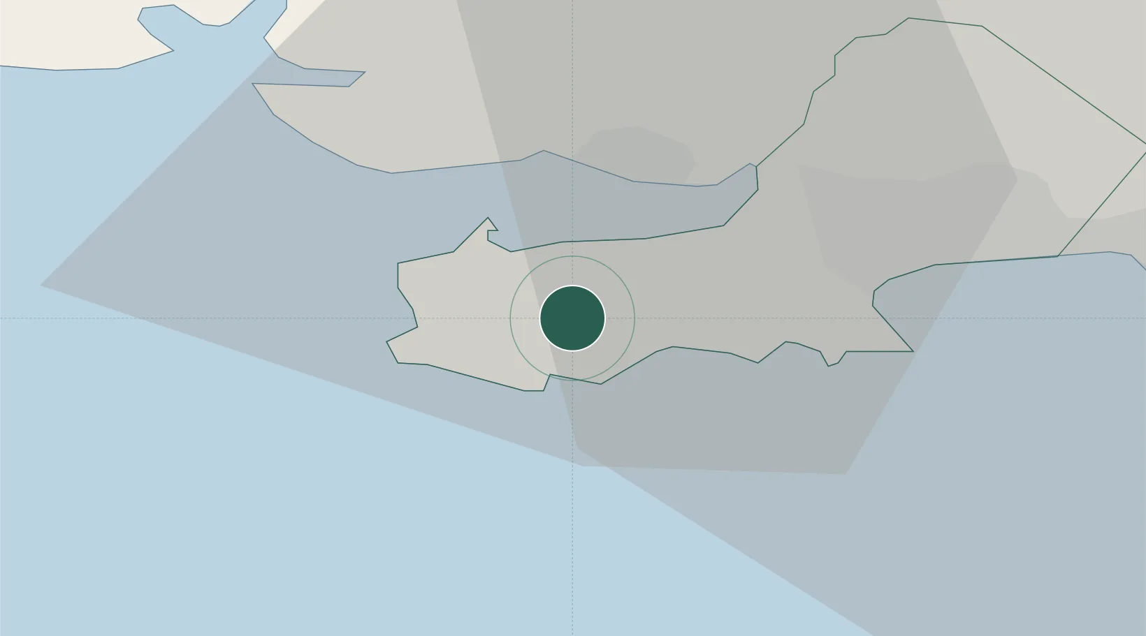
Reynoldston
51.5833°, -4.1833°
439
Population
2
Transport functions
Transport Functions
Port
Road
Hub Profile
Place type
Populated place
Region
Wales
Population
439
Time zone
Europe/London
Elevation
104 m
Location
Nearby Logistics Neighbours
Cities
- 1Pen-Clawdd9 km
- 2Llanelli10 km
- 3Burry Port12 km
- 4Pembrey13 km
- 5Gowerton13 km
Ports
- 1Swansea17 km
- 2Neath25 km
- 3Port Talbot25 km
- 4Milford Haven61 km
- 5Bideford61 km
Airports
- 1Swansea Airport8 km
- 2Royal Marines Base Chivenor55 km
- 3MOD St Athan56 km
- 4Lundy Island Helipad57 km
- 5Haverfordwest Airport60 km
Trade Zones
DatabookThe Record of Consolidated Knowledge
United Kingdom beyond logistics?