UN/LOCODE hub · United Kingdom
GBSRE
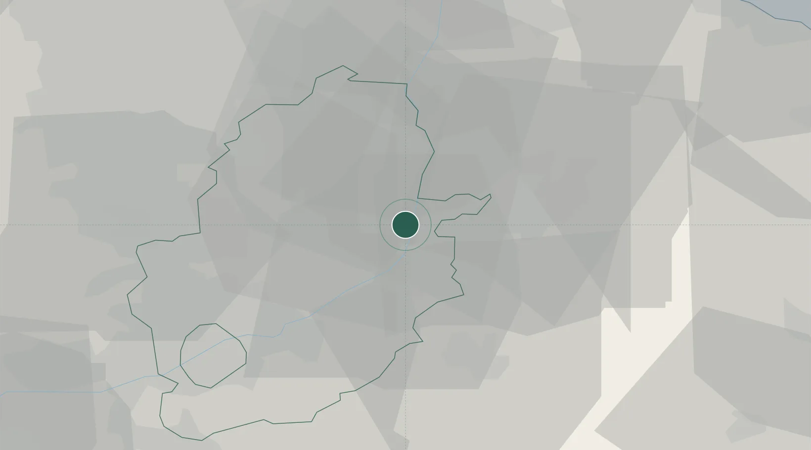
Sutton on Trent
53.1833°, -0.8000°
1,171
Population
2
Transport functions
Transport Functions
Rail
Road
Hub Profile
Place type
Populated place
Region
England
Population
1,171
Time zone
Europe/London
Elevation
12 m
Location
Nearby Logistics Neighbours
Cities
- 1North Scarle5 km
- 2Metheringham11 km
- 3Mangotsfield11 km
- 4Bassingham13 km
- 5Boughton14 km
Ports
- 1Goole58 km
- 2Boston58 km
- 3Howdendyke61 km
- 4Immingham64 km
- 5New Holland64 km
Airports
- 1RAF Waddington19 km
- 2RAF Cranwell27 km
- 3RAF Barkston Heath30 km
- 4Nottingham City Airport35 km
- 5RAF Coningsby44 km
Trade Zones
DatabookThe Record of Consolidated Knowledge
United Kingdom beyond logistics?