Transport Functions
Port
Hub Profile
Place type
Populated place
Region
England
Population
19,904
Time zone
Europe/London
Elevation
8 m
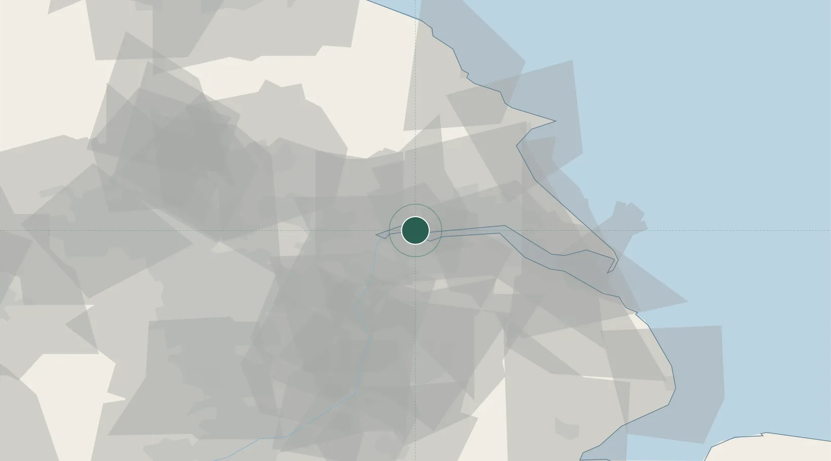
Location
Nearby Logistics Neighbours
Cities
- 1North Ferriby6 km
- 2Hessle/Hull10 km
- 3Burton upon Stather10 km
- 4Barton upon Humber11 km
- 5Flixborough13 km
Ports
- 1New Holland14 km
- 2Goole17 km
- 3Howdendyke20 km
- 4Kingston Upon Hull20 km
- 5Immingham27 km
Airports
- 1Humberside Airport22 km
- 2Leeds East Airport42 km
- 3RAF Waddington61 km
- 4Leeds Bradford Airport73 km
- 5RAF Coningsby75 km
Trade Zones
DatabookThe Record of Consolidated Knowledge
United Kingdom beyond logistics?