Transport Functions
Port
Hub Profile
Place type
Populated place
Region
England
Time zone
Europe/London
Elevation
46 m
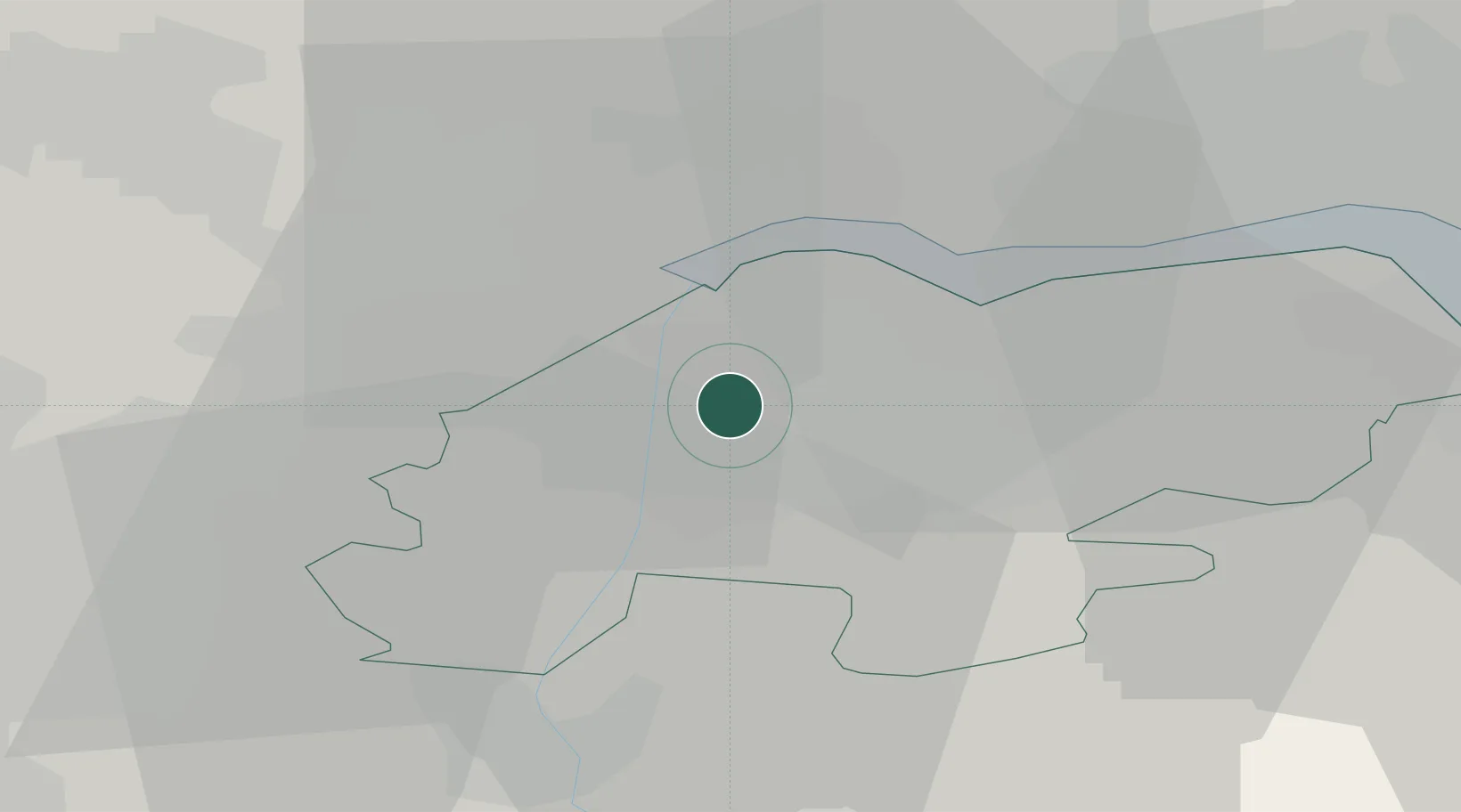
Location
Nearby Logistics Neighbours
Cities
- 1Scunthorpe3 km
- 2Burton upon Stather4 km
- 3Keadby4 km
- 4Grove Port4 km
- 5Pocklington5 km
Ports
- 1Goole14 km
- 2Howdendyke19 km
- 3New Holland23 km
- 4Kingston Upon Hull30 km
- 5Immingham32 km
Airports
- 1Humberside Airport23 km
- 2Leeds East Airport42 km
- 3RAF Waddington51 km
- 4RAF Cranwell67 km
- 5RAF Coningsby68 km
Trade Zones
DatabookThe Record of Consolidated Knowledge
United Kingdom beyond logistics?