UN/LOCODE hub · United Kingdom
GBNRF
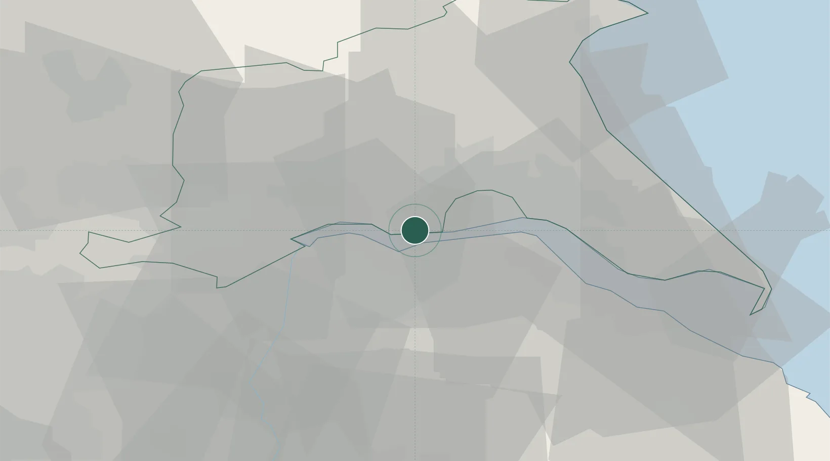
North Ferriby
53.7167°, -0.5000°
7,416
Population
1
Transport functions
Transport Functions
Port
Hub Profile
Place type
District seat
Region
England
Population
7,416
Time zone
Europe/London
Elevation
20 m
Location
Nearby Logistics Neighbours
Cities
- 1Hessle/Hull4 km
- 2Brough6 km
- 3Barton upon Humber7 km
- 4Barrow-upon-Humber9 km
- 5New Holland9 km
Ports
- 1New Holland9 km
- 2Kingston Upon Hull15 km
- 3Immingham22 km
- 4Goole22 km
- 5Howdendyke25 km
Airports
- 1Humberside Airport19 km
- 2Leeds East Airport48 km
- 3RAF Waddington61 km
- 4RAF Coningsby73 km
- 5RAF Cranwell77 km
Trade Zones
DatabookThe Record of Consolidated Knowledge
United Kingdom beyond logistics?