UN/LOCODE hub · United Kingdom
GBBNH
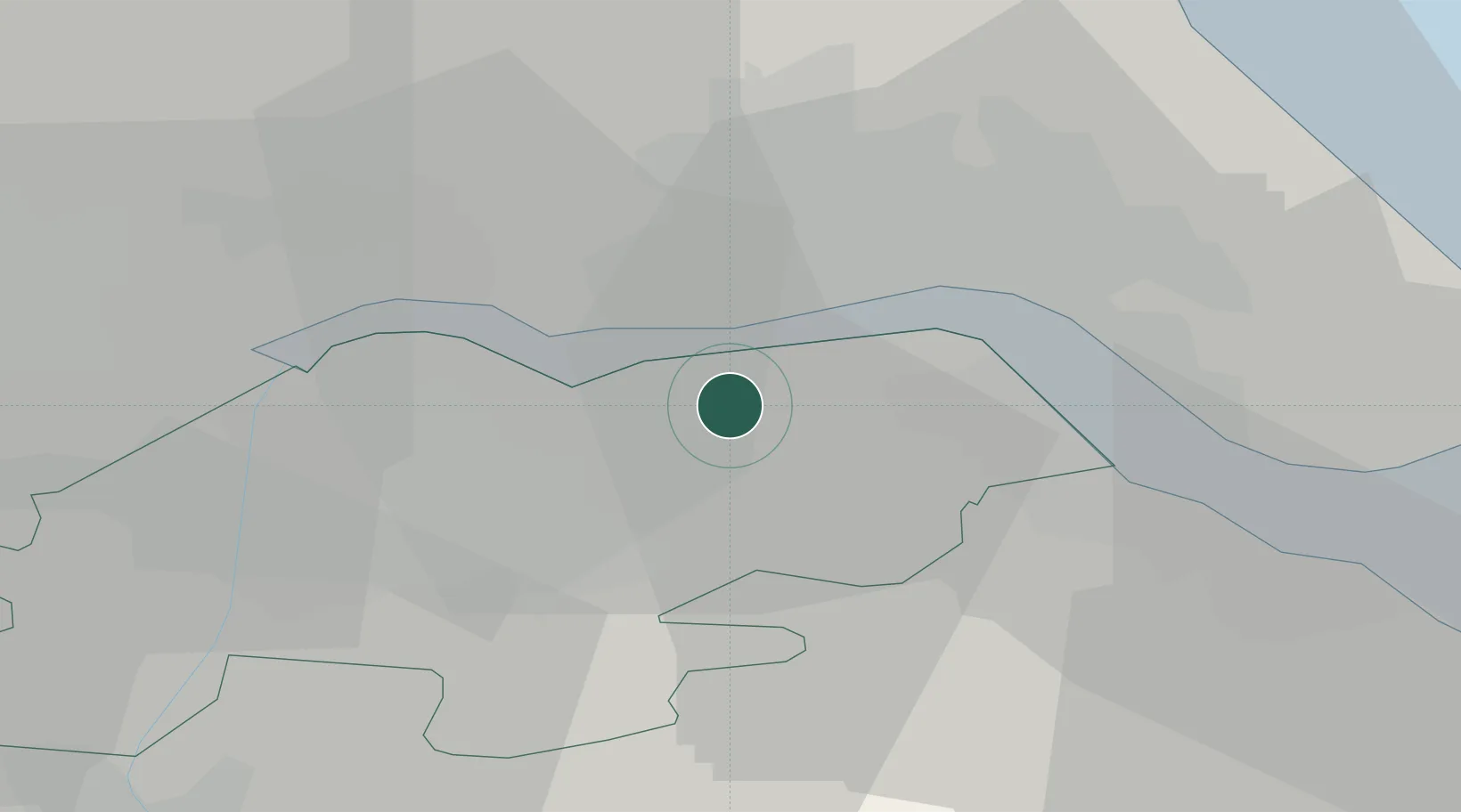
Barton upon Humber
53.6667°, -0.4333°
11,066
Population
2
Transport functions
Transport Functions
Port
Road
Hub Profile
Place type
Populated place
Region
England
Population
11,066
Time zone
Europe/London
Elevation
6 m
Location
Nearby Logistics Neighbours
Cities
- 1Barrow-upon-Humber4 km
- 2Hessle/Hull6 km
- 3New Holland6 km
- 4Goxhill7 km
- 5North Ferriby7 km
Ports
- 1New Holland6 km
- 2Kingston Upon Hull14 km
- 3Immingham16 km
- 4Grimsby26 km
- 5Goole27 km
Airports
- 1Humberside Airport12 km
- 2Leeds East Airport53 km
- 3RAF Waddington56 km
- 4RAF Coningsby66 km
- 5RAF Cranwell71 km
Trade Zones
DatabookThe Record of Consolidated Knowledge
United Kingdom beyond logistics?