Transport Functions
Port
Hub Profile
Place type
District seat
Region
England
Time zone
Europe/London
Elevation
251 m
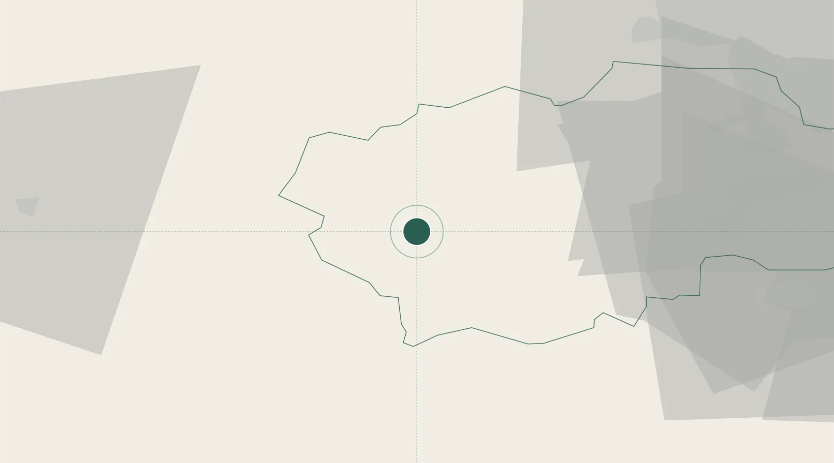
Location
Nearby Logistics Neighbours
Cities
- 1Westgate11 km
- 2Garrigill22 km
- 3West Auckland26 km
- 4Crook27 km
- 5Melsonby34 km
Ports
- 1Seaham57 km
- 2Sunderland58 km
- 3Hartlepool62 km
- 4Tynemouth62 km
- 5Teesport64 km
Airports
- 1Teesside International Airport47 km
- 2Newcastle International Airport53 km
- 3RAF Spadeadam54 km
- 4RAF Leeming54 km
- 5Carlisle Lake District Airport55 km
Trade Zones
DatabookThe Record of Consolidated Knowledge
United Kingdom beyond logistics?