Transport Functions
Road
Multimodal
Hub Profile
Place type
Populated place
Region
England
Time zone
Europe/London
Elevation
343 m
Location
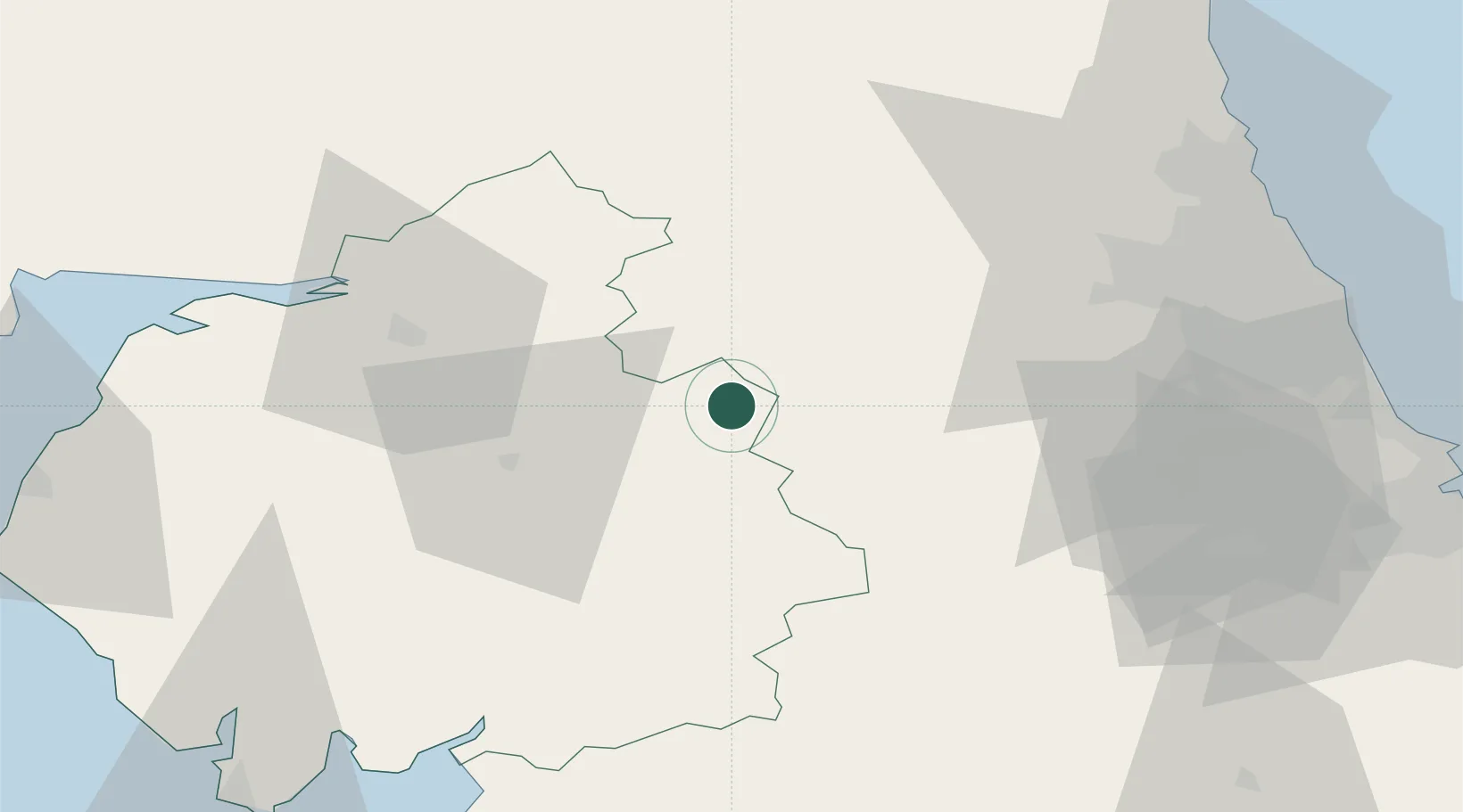
Nearby Logistics Neighbours
Cities
- 1Westgate17 km
- 2Newbiggin22 km
- 3Fourstones29 km
- 4Corbridge32 km
- 5Harraby36 km
Ports
- 1Silloth66 km
- 2Sunderland67 km
- 3Tynemouth68 km
- 4Blyth69 km
- 5Seaham69 km
Airports
- 1Carlisle Lake District Airport33 km
- 2RAF Spadeadam33 km
- 3Newcastle International Airport54 km
- 4Teesside International Airport68 km
- 5RAF Leeming76 km
Trade Zones
DatabookThe Record of Consolidated Knowledge
United Kingdom beyond logistics?