Transport Functions
Port
Hub Profile
Place type
Populated place
Region
England
Population
6,025
Time zone
Europe/London
Elevation
8 m
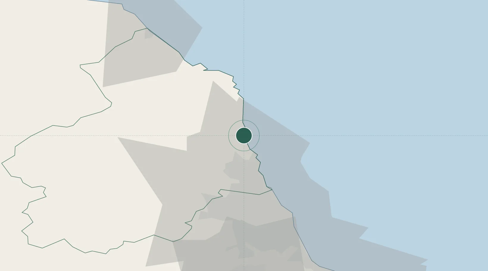
Location
Nearby Logistics Neighbours
Ports
- 1Warkworth Harbour2 km
- 2Blyth23 km
- 3Tynemouth37 km
- 4Sunderland47 km
- 5Seaham56 km
Airports
- 1Newcastle International Airport32 km
- 2RAF Spadeadam68 km
- 3Carlisle Lake District Airport89 km
- 4Teesside International Airport90 km
- 5RAF Leeming113 km
Trade Zones
DatabookThe Record of Consolidated Knowledge
United Kingdom beyond logistics?