Transport Functions
Port
Road
Hub Profile
Region
ZET
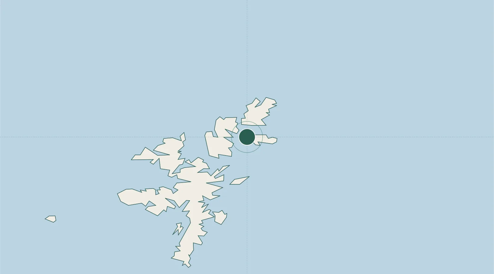
Location
Nearby Logistics Neighbours
Cities
- 1Oddsta, Fetlar1 km
- 2Gutcher, Yell7 km
- 3Mid Yell8 km
- 4Belmont, Unst8 km
- 5Uyeasound, Unst9 km
Ports
- 1Sullom Voe26 km
- 2Lerwick51 km
- 3Scalloway57 km
- 4Kettletoft180 km
- 5Pierowall184 km
Airports
- 1Lerwick / Tingwall Airport50 km
- 2Foula Airfield83 km
- 3Sumburgh Airport84 km
- 4Fair Isle Airport126 km
- 5North Ronaldsay Airport162 km
Trade Zones
DatabookThe Record of Consolidated Knowledge
United Kingdom beyond logistics?