UN/LOCODE hub · United Kingdom
GBGUT

Gutcher, Yell

60.6667°, -1.0167°
2
Transport functions

Transport Functions

Port
Road
UN/LOCODE

Hub Profile

Region
ZET
GeoNames

Location

Location of GBGUT
Natural Earth 10m (public domain) · ZET · GBGUT · 60.67, -1.02GoogleOSMYandex

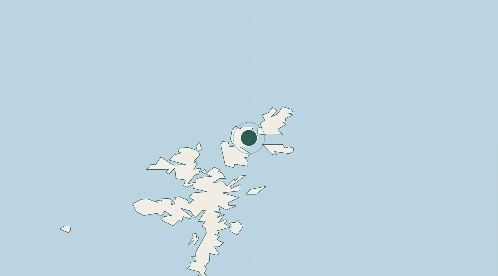
Nearby Logistics Neighbours

Cities
  1. 1Belmont, Unst3 km
  2. 2Cullivoe, Yell4 km
  3. 3Yell and Fetlar5 km
  4. 4Uyeasound, Unst7 km
  5. 5Hamars Ness, Fetlar7 km
Nearest neighbours — logibook spatial index (haversine) over the source coordinates
Ports
  1. 1Sullom Voe27 km
  2. 2Lerwick56 km
  3. 3Scalloway61 km
  4. 4Kettletoft182 km
  5. 5Pierowall186 km
Nearest neighbours — logibook spatial index (haversine) over the source coordinates
Airports
  1. 1Lerwick / Tingwall Airport54 km
  2. 2Foula Airfield83 km
  3. 3Sumburgh Airport89 km
  4. 4Fair Isle Airport130 km
  5. 5North Ronaldsay Airport165 km
Nearest neighbours — logibook spatial index (haversine) over the source coordinates
Trade Zones
  1. 1Prestwick Airport Free Zone611 km
  2. 2North Eastern Enterprise Zone635 km
  3. 3Carlisle Kingmoor Park Enterprise Zone648 km
  4. 4Tees Valley Enterprise Zone675 km
  5. 5York Central Enterprise Zone746 km
Nearest neighbours — logibook spatial index (haversine) over the source coordinates
DatabookThe Record of Consolidated Knowledge
United Kingdom beyond logistics?
Browse databook

All Sources

LocationsUN/LOCODE
UN/LOCODE — free
Portsthe NGA World Port Index
Public domain (US gov)
AirportsOurAirports
Public domain
Trade Zonesthe World Bank SEZ database
CC BY 4.0
Trade ZonesOpen Zone Map
CC BY
← United Kingdom locations