Transport Functions
Port
Hub Profile
Region
DBY
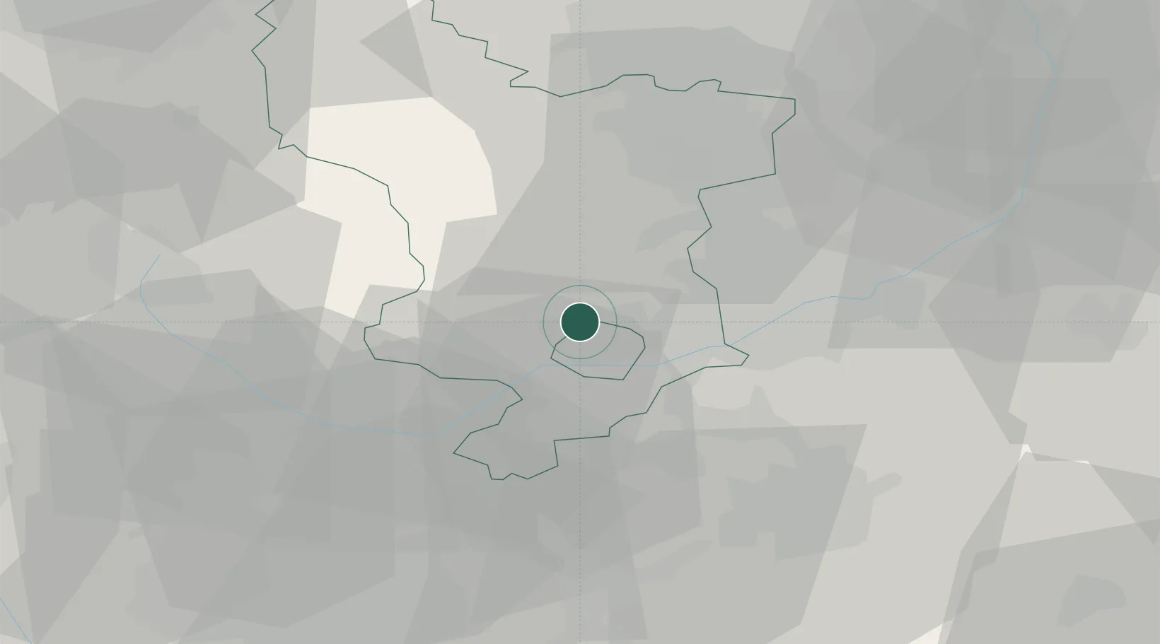
Location
Nearby Logistics Neighbours
Cities
- 1Little Eaton4 km
- 2Coxbench6 km
- 3Barrow upon Trent10 km
- 4Denby11 km
- 5Ambergate13 km
Ports
- 1Manchester80 km
- 2Goole96 km
- 3Howdendyke98 km
- 4Boston99 km
- 5Garlston104 km
Airports
- 1East Midlands Airport16 km
- 2Nottingham City Airport28 km
- 3Birmingham Airport56 km
- 4Coventry Airport63 km
- 5RAF Barkston Heath63 km
DatabookThe Record of Consolidated Knowledge
United Kingdom beyond logistics?