UN/LOCODE hub · United Kingdom
GBLSA
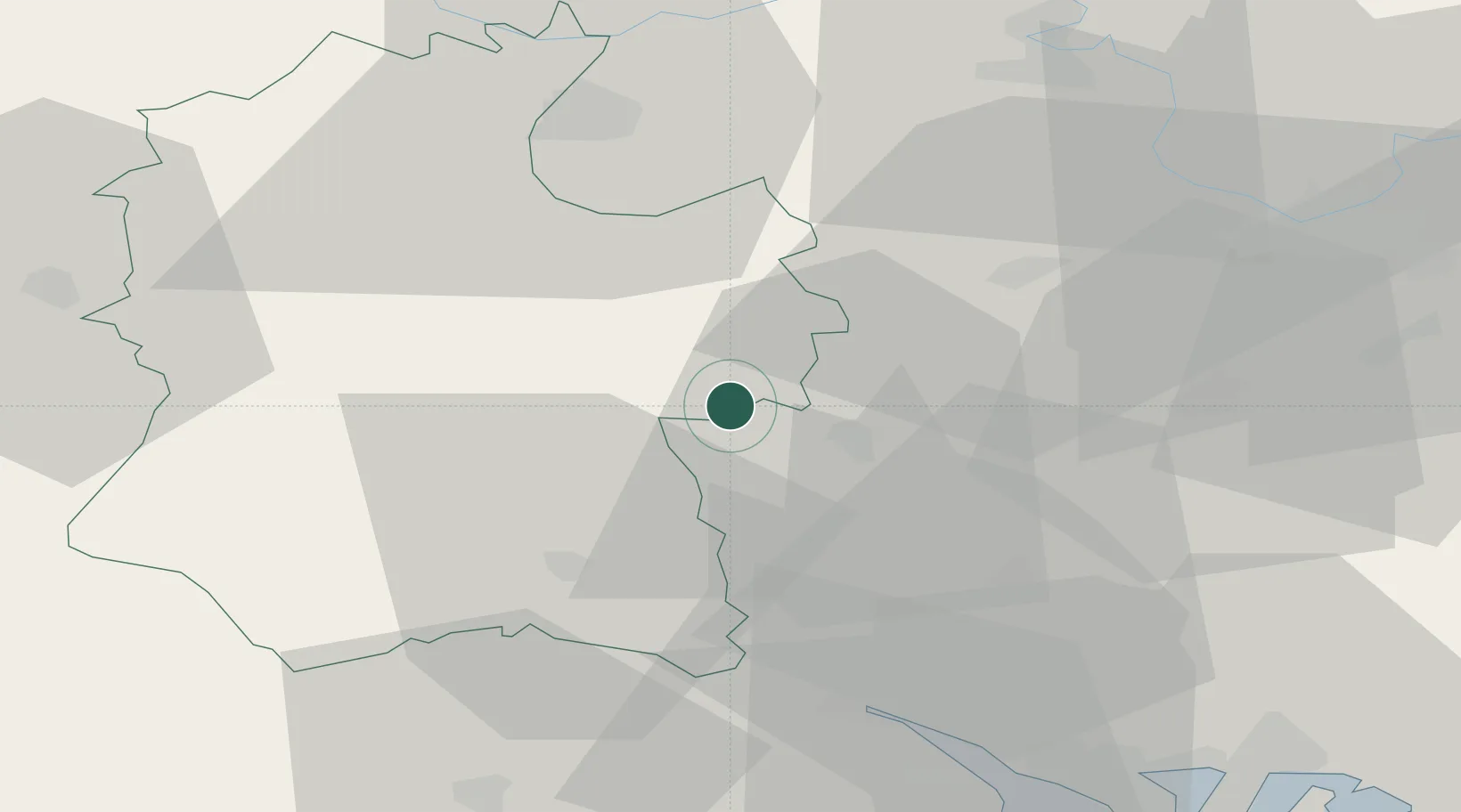
Ludgershall
51.2500°, -1.6167°
4,427
Population
2
Transport functions
Transport Functions
Rail
Road
Hub Profile
Place type
Populated place
Region
England
Population
4,427
Time zone
Europe/London
Elevation
128 m
Location
Nearby Logistics Neighbours
Cities
- 1Chilham17 km
- 2Whitchurch19 km
- 3Little Somborne22 km
- 4Ashley24 km
- 5Whiteparish28 km
Ports
- 1Southampton42 km
- 2Fawley Marine Terminal52 km
- 3Cowes Harbour58 km
- 4Yarmouth Harbour62 km
- 5Portsmouth Harbour62 km
Airports
- 1MoD Boscombe Down14 km
- 2Southampton Airport38 km
- 3Lasham Airfield41 km
- 4RAF Odiham47 km
- 5RAF Fairford50 km
Trade Zones
DatabookThe Record of Consolidated Knowledge
United Kingdom beyond logistics?