Transport Functions
Multimodal
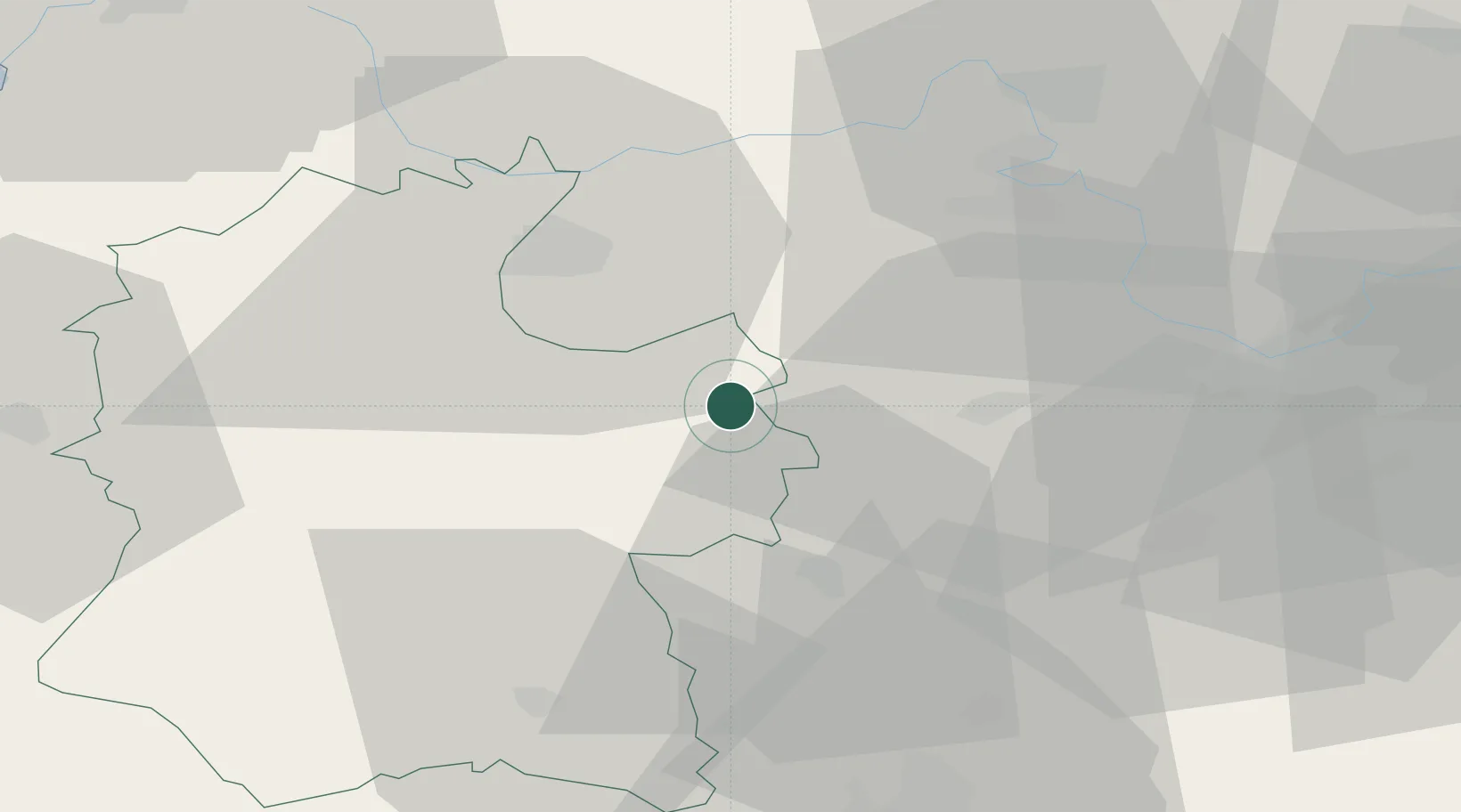
Hub Profile
Place type
Populated place
Region
England
Population
379
Time zone
Europe/London
Elevation
47 m
Location
Nearby Logistics Neighbours
Cities
- 1Hurley15 km
- 2Ludgershall17 km
- 3Chieveley19 km
- 4Fernham24 km
- 5Whitchurch25 km
Ports
- 1Southampton57 km
- 2Fawley Marine Terminal67 km
- 3Sharpness72 km
- 4Cowes Harbour73 km
- 5Bristol73 km
Airports
- 1MoD Boscombe Down30 km
- 2RAF Fairford35 km
- 3RAF Brize Norton39 km
- 4RAF Benson41 km
- 5Lasham Airfield45 km
Trade Zones
DatabookThe Record of Consolidated Knowledge
United Kingdom beyond logistics?